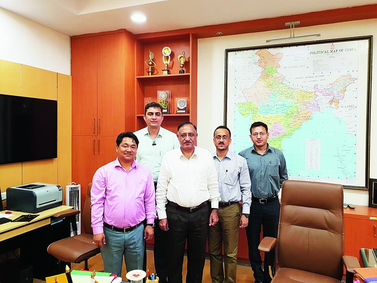

Itanagar: Surveyor general of India Lt Gen. Girish Kumar has assured a team of experts from State Remote Sensing Application Centre (SRSAC) to assist and extend all possible technical expertise in the field of geospatial technology to improve planning, monitoring and management of natural resources in Arunachal Pradesh.
The team, which visited Kumar's office in Dehradun, Uttarakhand, recently, was led by SRSAC director H. Dutta and deputy director Tana Tage.
Kumar expressed his interest in collaborating in geospatial technology with the SRSAC for village-level survey using spatial data module structure developed for mobile mapping application, mapping of five major river basins, currently taken up for the Brahmaputra basin under the National Hydrology Project, funded by the World Bank.
He also expressed his willingness to provide technical expertise for digital elevation model (Dem) generation, flood forecasting, observation of water reservoir in real time, creation of geoid model among others.
Kumar assured to visit the Arunachal Pradesh in October, once the modalities get completed for collaboration and sharing of geospatial technologies between the Survey of India and SRSAC, Arunachal Pradesh, for signing of an MoU.
Secretary (technical) to the SGI and deputy director (technical) of Survey of India, Pankaj Mishra, was also present at the meeting.