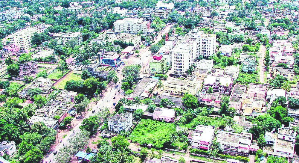

Bhubaneswar, July 3: The geographic information system (GIS) mapping of households in the city and Puri for property tax survey would begin shortly following the finance department's approval.
The GIS-based mapping would be done through satellite imagery to track the property tax defaulters. This will help the civic bodies in these two cities to collect all data on households in their respective areas.
The Odisha Space Application Centre, the nodal agency for all GIS mapping projects in the state, will carry out the GIS-based property tax survey in these two cities, covered under the National Mission Mode project of the Jawaharlal Nehru National Urban Renewal Mission.
A committee, headed by the special secretary of the housing and urban development department, with members from various other urban bodies, IT department and the IIT Bhubaneswar examined and finalised the techno commercial proposal of the centre last month.
"The committee report has been sent to the finance department, and once it is approved, the GIS mapping will start in these two cities," said public relations officer of the Bhubaneswar Municipal Corporation Srimanta Mishra, adding that the nod from the finance department was expected to come within 15 days and the mapping work will start thereafter.
The centre has given a proposal of Rs 2.8 crore for the project.
Sources said the centre would obtain high-resolution satellite images of the households in the cities and then they would interpret them, conduct field survey and generate data.
An official said these data would be used for application development under the National Mission Mode project. But initially, the revenue management, also a part of the same project, would create the GIS data.
Earlier, civic body commissioner Krishan Kumar had said the GIS mapping would help them have all the data of the households and the corporation keep a tab on the people, who would default on property tax payment.
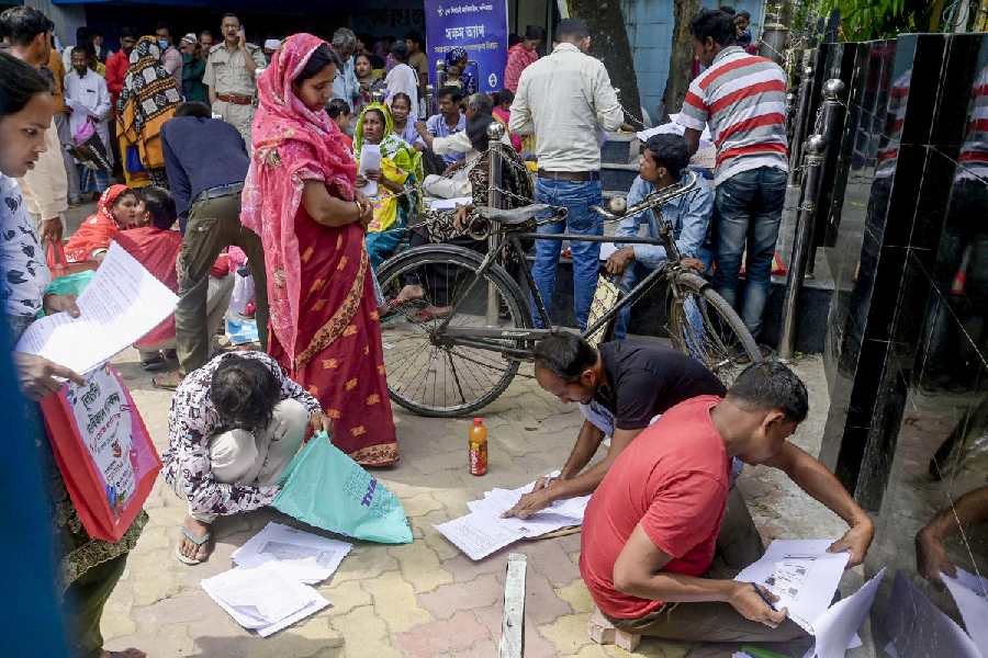
While there are around two lakh houses and buildings in the city, nearly 60,000 belong to the slum category. However, out of the 1.4 lakh buildings that include residential and commercial establishments, nearly 88,000 are yet to be listed under the property tax umbrella.
"So, the GIS-based mapping would provide the households' complete data, which could be brought under the corporation database. This will allow more people to come under the property tax umbrella and increase the revenue. Besides, defaulters would be easily picked up and action can be taken against them," said an officer.
An official also said that based on the GIS data, several applications would be developed for smooth functioning of the civic bodies. The applications would be developed for the HR management, works management, revenue collection, building plan approval and the procurement and contracts.
A committee has also been formed to look into the technical aspects of the project. Private parties would develop the applications.