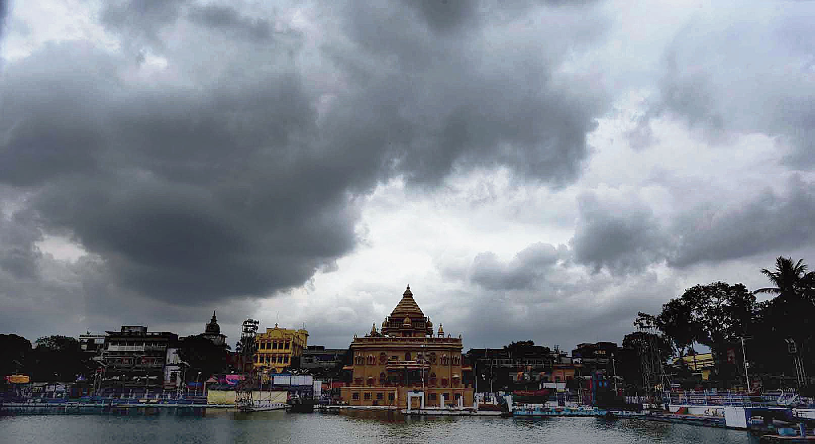
Calcutta is set to get heavy to very heavy showers till Saturday under the influence of Titli, which has intensified from a cyclone to a very severe cyclone and is poised to make landfall on the Odisha-Andhra Pradesh coast on Thursday morning.
According to the weather department’s projection, the rain is expected to go away by Monday, Sashthi.
“Heavy to very heavy rain” means anything between 60mm and 200m over 24 hours. “The rainfall that started on Wednesday will peak on Saturday,” an official in the weather department said.
The weather on the Puja days is likely to be “fair” with the maximum temperature set to vary around 32 degrees Celsius.
“There is no threat as such of rain during the festive period as no weather system is likely to form over the Bay of Bengal once Titli passes,” the official said.
The storm, gaining strength by the minute over the Bay of Bengal, is expected to make landfall between Gopalpur in Odisha and Kalingapatnam in Andhra Pradesh early on Thursday and “recurve” towards Bengal hours later.
The wind speed could be as high as 165kmph in the coastal belt and the sea would be rough with waves around 1m high, according to a statement released by the India Meteorological Department.
Titli (meaning butterfly, named by Pakistan) is slated to weaken gradually after landfall and eventually pass through Bengal on Saturday in the form of a depression on its way to Bangladesh. The wind speed in coastal Bengal during the period is expected to be 65kmph.
“We expect the heaviest showers in Calcutta and the rest of south Bengal on Saturday because that is when the storm will pass through the state,” the official in the weather department said.
Weather watchers had earlier predicted that the impact of Titli in terms of rainfall would be most severe in Calcutta on Thursday, immediately after landfall, and the intensity of the showers would lessen a lot by Saturday.
“There has been a change in the projected trajectory of the storm. Initially, our simulation models had shown Titli would recurve towards Bengal immediately after landfall. But then it grew stronger than expected and now it seems it would continue to move in the northwesterly direction for some time after landfall before turning towards Bengal,” said Sanjib Bandyopadhyay, deputy director general, India Meteorological Department, Calcutta.
“We expect the rainfall to reduce from Sunday, which is Panchami, and Durga Puja should be absolutely dry.”
On Wednesday afternoon, Calcutta received rainfall for the first time in a fortnight as some clouds on the outer reaches of Titli reached the city. The eye of the storm was still 715km south-south west of Calcutta.
The rainfall was unevenly distributed with places in south Calcutta getting more rain than the north. The highest rainfall in the city — 17mm — was recorded in Mominpur. In the rest of the city, it varied between 1.7mm in Ultadanga and 13.7mm in Joka.
On Thursday, the intensity of rainfall is likely to increase after the storm turns towards Bengal in the evening.
What’s in store
Thursday: Titli likely to make landfall along the Odisha-Andhra Pradesh coast in the morning and turn towards Bengal in the evening. Heavy rain likely from evening (60-119mm)
Friday: The intensity of rain to increase as Titli journeys towards Bengal and weakens. Heavy to very heavy (up to 200mm) rain expected
Saturday: The intensity of showers likely to peak as the storm passes through Bengal as depression
Sunday: Rainfall should ebb
Monday (Sashthi): Rain to stop