Kohima, Jan. 30 (PTI) : The Nagaland Science and Technology Council has prepared a map on groundwater prospects of Nagaland.
The council prepared the hydro geo-morphological map under Rajiv Gandhi National Drinking Water Mission Project under the supervision of National Remote Sensing Centre, ISRO and sponsorship of the Union ministry of drinking water and sanitation.
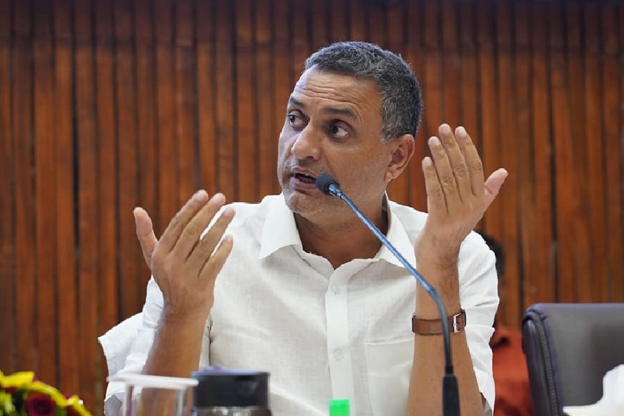
Nagland chief secretary C.J. Ponraj officially handed it over to PHE department chief engineer Kevisekho Kruse during the inaugural function of a daylong workshop on groundwater project map of Nagaland here today.
The natural sources should be properly identified, Ponraj said, adding that the state has abundant rain for four months but because of lack of natural storages people have to suffer during the lean period.


