|
Huddled inside the cabin of a five-seater aircraft, about 6,000 metres above eastern Uttar Pradesh, Mahesh Kumar made another attempt last week to plug frustrating gaps in the science of monsoon rainfall. A scientist at the Indian Institute of Tropical Meteorology (IITM), Pune, Kumar was trying to measure the rain bearing potential of clouds in the immediate vicinity of the aircraft.
Over the past eight weeks, Kumar and his colleagues have flown into different types of clouds over Pathankot, Bangalore and Hyderabad in an effort to understand how the content of clouds influences rain. “The efficiency of rainfall changes from cloud to cloud — some produce good rain, others don’t,” says Jivanprakash Kulkarni, a senior IITM scientist who tracked Kumar’s flight from the ground in Bareilly.
The IITM effort is intended to help scientists pinpoint clouds that could serve as candidates for seeding — a process of dispersing chemicals into clouds to coax them into delivering rain. But the flights through the clouds may also help generate fresh data on the physics of rainfall. Such information may be crucial for improving the accuracy of India’s monsoon forecasts, meteorologists say.
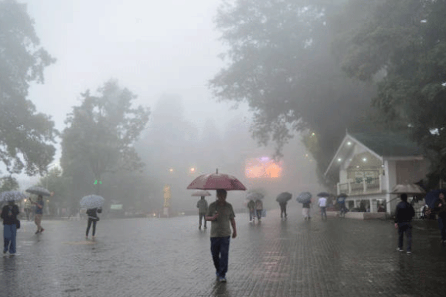
India began issuing monsoon forecasts in 1886. Though the methodology has been revised many times, embarrassing uncertainties persist. Over the past 20 years, actual rainfall failed to match the official forecasts — by the India Meteorological Department (IMD), Pune — 12 times. The forecasts failed to predict low rainfall five times, and rainfall was higher than predicted seven times.
At the IMD, meteorologist Damodar Sivanand Pai has inherited a 123-year old ritual — of forecasting the monsoon — knowing only too well that gaps in the science of the atmosphere guarantee errors, and accuracy is elusive.
“We’re doing the best we can from a position of handicap,” says Pai, who heads IMD’s long-range forecasting division. “Our understanding of monsoon physics must improve.” Earlier this year, Pai’s team predicted that India would receive only 93 per cent, or below normal, monsoon rainfall, and that the grain producing states of the northwest could have a 19 per cent rainfall deficit.
India’s economy is far less of a gamble on monsoon rains now than it was in the 1950s or 1960s but interest in long-range forecasts has surged despite their limitations.
Since 1988, the IMD has twice tweaked a statistical model that seeks to predict the monsoon through observations of near and distant weather phenomena — from sea surface temperatures in the Arabian Sea and Pacific Ocean to Eurasian snow cover and wind patterns in the northern hemisphere. “We use historical connections of such distant weather phenomena with rainfall to predict monsoon behaviour during the entire season,” says Pai.
Statistical data suggest that the rise in sea surface temperatures in the eastern and central Pacific Ocean — a phenomenon called El Nino — appears to be unfavourable for the Indian monsoon. The warmer the sea, the poorer the monsoon performance. But recent studies suggest that the association between El Nino and the monsoon has “weakened” since the 1970s. However, these studies only add to the puzzle — why do rains fail in some El Nino years and remain unaffected in others?
Some weather scientists believe that part of the answer may lie in the Indian Ocean, which is much closer to India, but has major information gaps. The Pacific Ocean has a dense network of mid-oceanic instruments that has helped build abundant data on the temperature variations in it.
“We have little data from the Indian Ocean,” says Madhavan Rajeevan, a senior scientist at the National Atmospheric Radar Laboratory, Gandanki, about 35km from Tirupati. “The year-to-year variations in the sea surface temperatures in regions of the Indian Ocean are small, but may have greater influence on the monsoon than temperature changes in the Pacific Ocean,” he says.
But the biggest drawback of statistics-based forecasts is their inability to take into account the effect of rainfall early in the season on that later in the season.
“Rainfall itself can change land temperatures and this in turn may influence rainfall,” says Rajeevan. “This effect of early rain on future rain may explain the breaks within a season, but we don’t fully understand this effect yet.”
In recent years, the IMD has also turned to computational forecasts to complement the statistics-based approach. Computers use weather data to simulate future rainfall using dynamic models of the atmosphere.
“You have to get the distribution of cloud clusters right for such dynamic models,” says Bhupendra Nath Goswami, IITM director. “This is the most challenging problem in (monsoon) forecasting.”
“India’s geography makes it even more complex — we have a landmass surrounded by warm waters and a chain of mountains in the north. Cloud formation is an interactive process with all three influencing it,” says Goswami.
Cloud build up, scientists say, could also be linked to the wet and dry spells during the monsoon. The mechanisms that underlie these breaks are still poorly understood.