The West Bengal government has drafted an action plan with the help of Dutch experts to tackle floods, prevent embankment damage and decrease salinity level in Sunderbans and in the coastal areas.
Principal Secretary of Irrigation and Waterways department Prabhat Kumar Mishra told PTI that the department had signed the letter of intent (LoI) with the Netherlands government in the sixth edition of the Bengal Global Business Summit in April last year for technical assistance in delta management and development of the Sunderbans and coastal areas of Digha.
"An action plan has been formulated and pilot project already taken off near Mousumi islands in South 24 Parganas district to strengthen embankments and the Dutch team - consisting of experts - has made three-four visits to the delta areas of south Bengal to take forward the work," he said.
Mishra said various waterways, including blocked water canals and river channels, crisscrossing parts of south Bengal, had been connected with Hooghly river system at one time before tectonic shifts and other activities made them defunct and the links were severed.
"Our aim is for restoring those links so that fresh water inflow is made possblle in those parts again and decrease the salinity level," he added.
These defunct waterways in the zone, once excavated, will facilitate flow of fresh water and cause dip in the salinity level, the principal secretary said, adding that Dutch experts have been roped in for the ambitious project as they are the "best" in this.
The team, apart from making on the spot visits to different zones, has been building up a satellite image-based map.
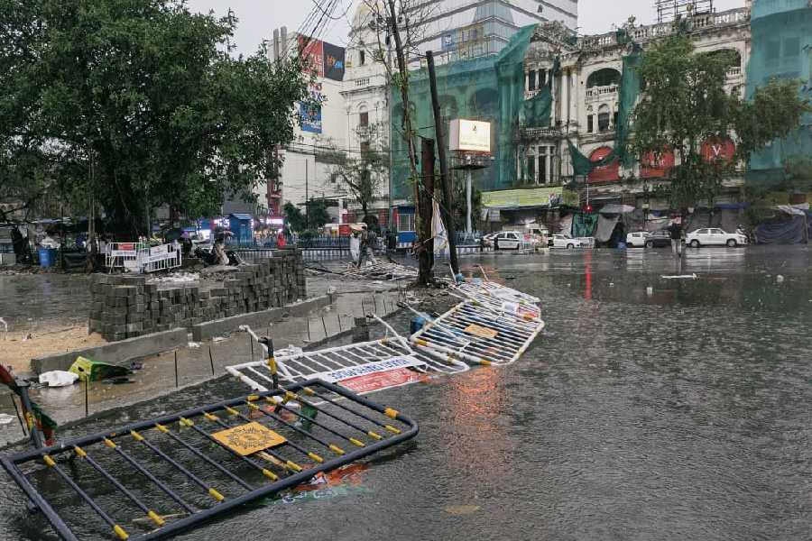
Mishra told PTI that the measures would help in mitigating flood in Kolkata, particularly southern parts of city and stop inundation of low lying areas during heavy rains.
"Once the system is implemented both upper delta and lower delta will be benefitted," he said but did not give a time frame.
"The Dutch experts have advocated natured-based solution" apart from sharing their engineering expertise in building a multi-pronged system which can prevent flooding, stop erosion in coastal areas," the principal secretary added.
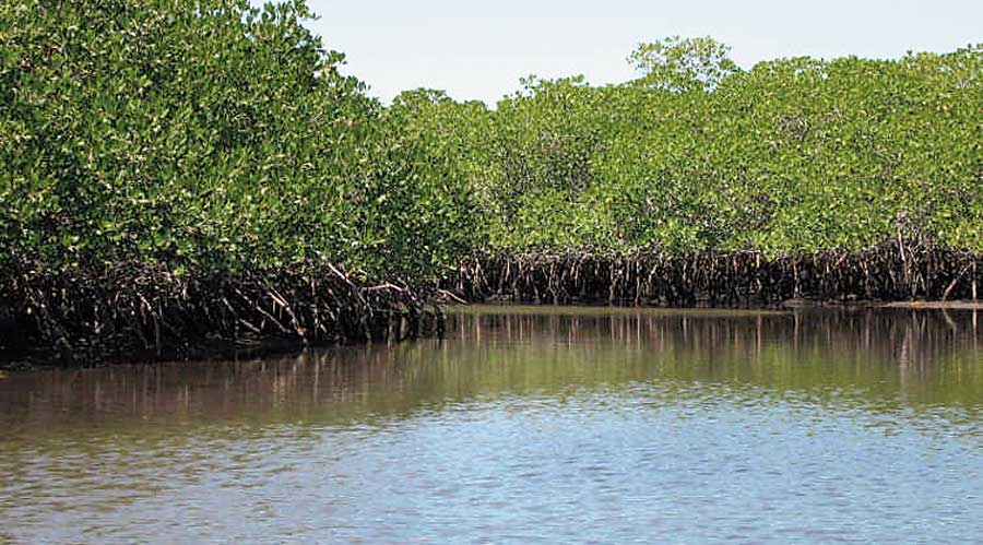
He said the move will also lead to stop in washing of saplings in coastal areas like Sunderbans which include species like Mangroves.
"We are working on both medium-term and long-term approaches to address the situation with one of the best collaborators in the world," he added.
Another state official said the government will seek funding from World Bank and Asian Development Bank for the project.
He said till this date the department has already excavated 500 km for storing freshwater in south Bengal upper delta.
The medium term plan is to excavate over 700 km of land in five years.
"In the Netherlands dykes have proved to be effective in checking inundation of areas. We think as embankments in coastal areas of both South 24 Parganas and Purba Medinipur districts gave way to breaching during disaster, we urgently need a mechanism to put in place to stop its recurrences," Mishra said.
Except for the headline, this story has not been edited by The Telegraph Online staff and has been published from a syndicated feed.