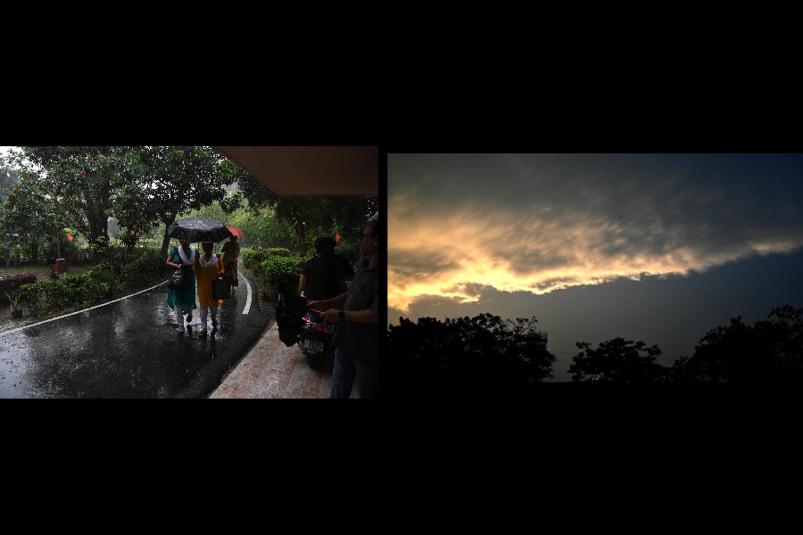
A slate black sky, rain and gusts of wind made a comeback on Monday, bringing relief from the sultry conditions.
Calcutta saw a spell of rain that started in the forenoon and lasted over 30 minutes. Another started early in the evening and went on for a while.
The showers, however, were not uniform across the city. Alipore received around 6mm of rain between 8.30am and 8.30pm. Some of the other areas got much more.
The Met office recorded 59mm of rain in Dum Dum. “Dum Dum was also hit by a squall — that clocked 72kmph — around noon,” said a Met official.
The weather disrupted flight operations for 25 minutes, said Kolkata airport officials. “Flight operations were disrupted between 11.45am and 12.10pm because of bad weather, strong winds and low visibility. Four Calcutta-bound flights had to be diverted. Six arrivals and six departures were delayed,” said an official.
Howrah, Hooghly and North 24-Parganas, the three neighbouring districts of Calcutta, went to polls on Monday. All three districts were drenched and the queue at polling stations became shorter when it was raining.
The overcast conditions dragged the Celsius down. The Met office recorded a maximum temperature of 35.4 degrees in Alipore, a notch below normal.
Two systems are responsible for the showers, said a Met bulletin.
“A trough runs from northwest Uttar Pradesh to east Bangladesh across
east Uttar Pradesh, south Bihar, Jharkhand and Gangetic West Bengal at 0.9km
above mean sea level. The cyclonic circulation over the Gangetic West Bengal and neighbourhood now lies over the northwest Bay of Bengal and adjoining north Odisha-West Bengal coasts at 3.1km above mean sea level,” it said.
On both Tuesday and Wednesday, thunderstorms with gusts of wind are expected across south Bengal, according to the Met forecast. The districts of north Bengal are likely to get heavy rain.
Bay watch
A low-pressure area is expected to take shape over the Bay of Bengal by Wednesday, the Met bulletin said.
“A low-pressure area is likely to form over the southwest Bay of Bengal around May 22. It is likely to move initially northeastwards and concentrate into a depression over central parts of the Bay of Bengal by the morning of May 24,” it said.
Further intensification, if any, would turn the system into a deep depression and then a cyclone.
Till Monday night, there was no official word from the Met office on the fate of the system after it turned into a depression.
But the Met bulletin has predicted widespread rainfall in south Bengal on May 24. “It is likely to be triggered by the depression,” said a Met official.
Heavy rain is likely in East Midnapore, West Midnapore, South 24-Parganas and North-24 Parganas. Thunderstorms are likely in Calcutta and almost all other districts of south Bengal, the bulletin said.