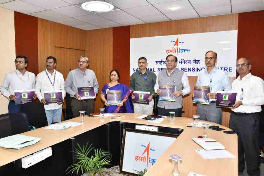
The Sikkim State Disaster Management Authority (SSDMA), in collaboration with the National Remote Sensing Centre (NRSC) under the Indian Space Research Organisation (ISRO), released a Lightning Risk Atlas of Sikkim based on data collected between 2019 and 2025.
The atlas was officially launched at the SSDMA office in Gangtok on Monday and is expected to strengthen disaster preparedness, climate resilience and risk-informed planning across the Himalayan state.
Rinzing Chewang Bhutia, the relief commissioner-cum-secretary of the state land revenue & disaster management department, highlighted the significance of the initiative, describing it as a first-of-its-kind scientific resource for Sikkim.
“The availability of scientific and location-specific data will greatly enhance evidence-based decision-making and support the government’s efforts towards building a more resilient Sikkim. It would help identify specific hotspots and vulnerable zones, enabling district administrations and line departments to undertake targeted awareness programmes and localised mitigation measures,” said Bhutia.
SSDMA officials said the atlas was developed using data collected through the lightning detection sensor network operated by NRSC, combined with advanced geospatial analysis techniques to record lightning risk patterns.
At the event, scientists from NRSC presented key findings of the study, including lightning occurrence patterns, district-wise analysis, vulnerable regions and long-term risk trends observed between 2019 and 2025.
Prakash Chauhan, the director of NRSC, stressed the importance of space technology, remote sensing applications and scientific collaboration in disaster risk reduction and climate resilience initiatives.
The atlas is expected to serve as an important reference document for government departments, district administrations, researchers and disaster management stakeholders.
Weather radars
The India Meteorological Department (IMD) will install advanced weather radars in two districts of north Bengal and Sikkim to provide early warnings for lightning, cloudbursts and cyclonic storms.
Gopinath Raha, an official at the regional Met office in Gangtok, said a high-powered radar with a coverage range of 250km will be installed in Malda and three radars with coverage from 50km to 100km will be set up in Jalpaiguri district and Sikkim.
He said that IMD plans to install multiple advanced radars across Assam, Sikkim and Bengal, capable of issuing forecasts for severe natural disasters within 150km to 300km.
“The IMD also plans to install lightning forecast instruments, known as Nowcast systems, in Jalpaiguri, Alipurduar, North and South Dinajpur, Malda and Cooch Behar,” Raha added.
Additional reporting by our Jalpaiguri correspondent