Kolkata woke up to heavy rain and waterlogging in several neighbourhoods on Thursday morning as a depression over the northwest Bay of Bengal crossed the West Bengal coast near Canning between 7.30 and 8.30am.

The weather system, moving west-northwest at 13 kmph, is now expected to pass over Gangetic West Bengal, including Kolkata, and continue towards north Odisha and Jharkhand over the next 24 hours. According to the India Meteorological Department (IMD), the depression was located around 100km south-southeast of Kolkata at 8.30am on July 25.
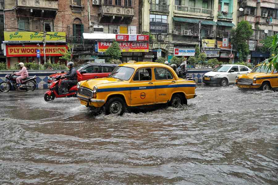
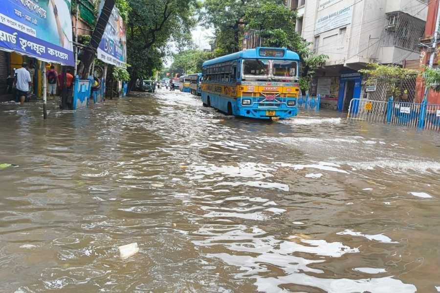
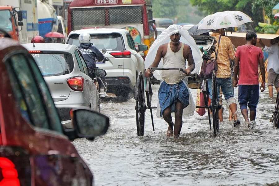
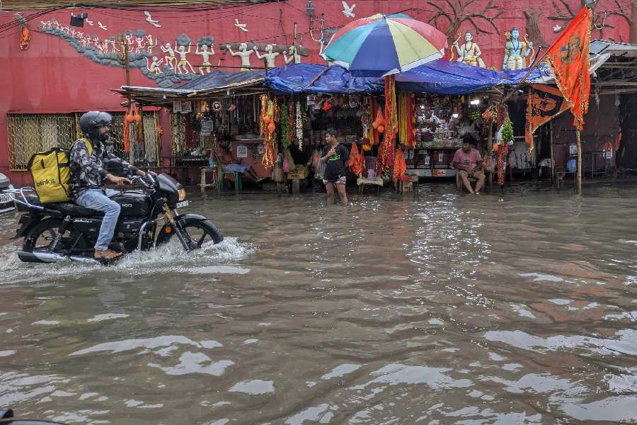
As predicted in a special bulletin issued by the IMD at 11am, the city witnessed heavy showers in the morning, with more rain expected throughout the day and into the weekend. Areas like Behala, Tollygunge, Garia, EM Bypass, Topsia and parts of Central Avenue reported significant waterlogging, causing traffic snarls and delays. Temporary flooding was also seen near underpasses and low-lying pockets across the city.

Gusty winds reaching up to 50kmph, accompanied by lightning, were reported in parts of south Bengal, including the city.
Authorities have issued advisories asking people to avoid waterlogged zones and not take shelter under trees or electric poles during thunderstorm spells. Port warnings remain active, and fishermen have been advised against venturing into the sea till July 29 due to rough condition
Dum Dum too faced the wrath of the rains. More heavy to very heavy rain is forecast for the next 48 hours, especially in districts like Howrah, Hooghly, East and West Midnapore, and South 24 Parganas.