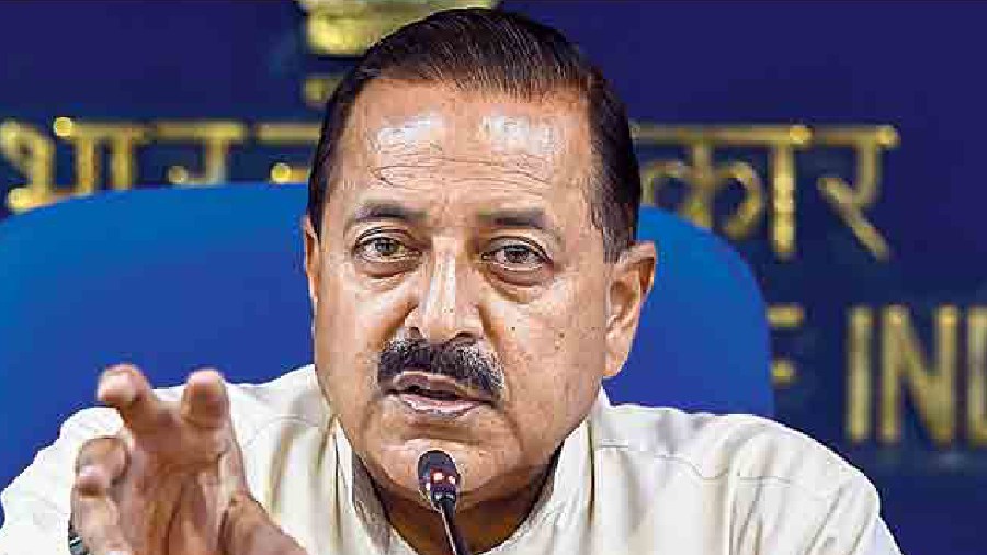
Union Minister Jitendra Singh on Thursday said civil servants’ capacity building will involve the latest geospatial technology.
Singh said he has always been speaking about wider integration in working and whole of government concept and the NIGST (National Institute of Geo-Informatics Science and Technology) has the potential and expertise in geospatial technologies to play a pivotal role in building the civil service.
He said, according to the National Geospatial Policy (NGP) 2022, online courses in geospatial science and technology areas are to be made available through iGoT (integrated government online training) Karmayogi platform.
Singh, the minister of state for personnel, visited the facilities of the institute in Hyderabad and interacted with the faculty and trainees there.
He announced that in keeping with Prime Minister Narendra Modi’s penchant for technology-driven governance, civil servants’ capacity building will involve the latest geospatial technology, which is one of the most recent technologies available to us as well as the world over.
A detailed presentation was also made before the Union minister about NIGST and its various facilities, and courses conducted.
During his interaction at the NIGST, Singh said the institute can augment the civil service training eco-system with competencies and role-based education in areas like drone survey and mapping, land surveying and digital mapping.
The minister said under the prime minister leadership, the National Geospatial Policy (NGP), 2022 has laid down the overarching framework for holistic development of the geospatial ecosystem to support national development and economic prosperity.
He said it has laid emphasis on developing the geospatial skill and knowledge standards across the country because the need for geospatial professionals, their training and development in diverse areas of geospatial and allied technology has been spelt out in the policy.
Singh said the NGP categorically talks about developing the NIGST into a centre of excellence (CoE) for providing training in specialised courses in the domain of geospatial science and technology.
The Union minister said the restructuring process of the NIGST is underway to achieve the objectives outlined by the government and actions have been initiated for capacity expansion and improvement in the training quality with modernisation of facilities including digital classrooms, labs, field instruments, practical field surveying exercises, and hostel facilities.
The NIGST (earlier known as Indian institute of Surveying and Mapping or IISM) is a surveying and mapping training institute under Survey of India known for short term and long term training and capacity building over past over 50 years to various countries like Thailand, Nepal, Bhutan, Sri Lanka, Saudi Arabia, Oman, and Centre and state ministries/agencies, security agencies, private industry.
Except for the headline, this story has not been edited by The Telegraph Online staff and has been published from a syndicated feed.