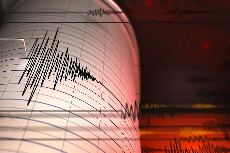
A powerful earthquake with a preliminary magnitude of 7.6 struck on Saturday night off the coast of the southern Philippine island of Mindanao and Philippine authorities issued a tsunami warning.
The quake struck at 10:37 pm (local time) at a depth of 32 km, according to the US Geological Survey. There were no immediate reports of damage or casualties.
The Pacific Tsunami Warning Centre said that based on the magnitude and location, it expected tsunami waves to hit the southern Philippines and parts of Indonesia, Palau and Malaysia.
Teresito Bacolcol, the head of the Philippine Institute of Volcanology and Seismology, told The Associated Press his agency advised residents along the coast of southern Surigao del Sur and Davao Oriental provinces to evacuate immediately to higher ground or move further inland.
Owners of boats in harbours, estuaries or shallow coastal waters off the two provinces should secure their boats and move away from
the waterfront, the quake agency said in its tsunami warning. Boats already at sea should stay offshore in deep waters until further advised, it said.
Based on the quake’s magnitude, Bacolcol said a one-metre tsunami may hit but the wave could be higher in enclosed coves, bays and straits.
The Philippines, one of the world’s most disaster-prone countries, experiences regular earthquakes and volcanic eruptions due to its location on the Pacific “Ring of Fire”, an arc of seismic faults around the ocean. The archipelago is also lashed by about 20 typhoons and storms each year.
On November 22, a strong, deep undersea earthquake shook the eastern side of Indonesia with no immediate reports of casualties or damages in the area.
The 6.0 magnitude earthquake hit an area 94 kilometers (58 miles) west of Tobelo in Indonesia’s North Maluku province, at a depth of 116 km.
Indonesia’s Meteorology, Climatology and Geophysical Agency said there was no potential danger of a tsunami but warned of possible aftershocks.
Indonesia, a vast archipelago and a home of more than 270 million people, is frequently hit by earthquakes and volcanic eruptions because of its location on the so-called “Ring of Fire,” an arc of seismic faults around the Pacific Basin.
A magnitude 5.6 earthquake last year killed at least 331 people and injured nearly 600 in West Java’s Cianjur city. It was the deadliest in Indonesia since a 2018 quake and tsunami in Sulawesi killed about 4,340 people. In 2004, an extremely powerful Indian Ocean quake set off a tsunami that killed more than 230,000 people in a dozen countries, most of them in Indonesia’s Aceh province.
On NOvember 28, an earthquake of magnitude 6.6 struck Wewak, Papua New Guinea. There were no reports of any casualties.