Two sets of clouds brought thunderstorms to south Bengal on Thursday evening.
Clouds from Bangladesh that came via the Sunderbans triggered winds, lightning and rain in parts of Kolkata and some of the surrounding areas.
As the clouds passed over Kolkata, Howrah, Hooghly and Purba Bardhaman, they came closer to another set from Jharkhand. The two merged into one large mass and triggered wind and rain in Paschim Bardhaman, Birbhum and Purulia, said a Met official.
In Kolkata, areas like Thakurpukur, Behala, New Alipore, Kasba and New Town got rain. Gariahat, Esplanade, Park Street and Shyambazar remained dry.
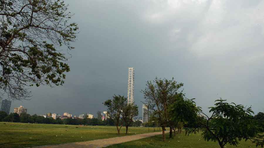
The rain was not uniform but the clouds were. At 4pm, the sky looked equally dark from the Maidan and Behala.
A spell of gusty winds followed. Then came the rain. For a good 15 minutes, parts of the city experienced a sharp spell of rain and gusts together. Streaks of lighting lit up the sky frequently, followed by rumblings of thunder.
The lightning prompted many to switch off electrical appliances. Conch shells were blown at some houses.
The showers had a cooling effect. From 33 degrees at 1pm, the Celsius dropped to 29 at 6.15pm.
Weather officials said a trough of low pressure extending from Punjab to Manipur was behind both sets of thunderclouds.
“Thursday's thunderstorm was not a typical one in Kolkata. Usually, clouds from Jharkhand reach Kolkata to trigger winds and rain,” said G.K. Das, director of IMD, Kolkata. “Bangladesh is not far below the trough. Jharkhand is under it. The clouds formed at both places because of moisture incursion from the Bay and sufficient heating of the earth.”
Initially, the clouds from Bangladesh were stronger than those from Jharkhand. But gradually, the clouds from Jharkhand fed on additional moisture as they moved and grew stronger.
Thursday’s thunderstorm was the fourth since April 30. Before that, the city had endured a 60-day dry spell. In late April, a heatwave was declared in some districts of south Bengal. Kolkata, too, felt like a cauldron.
The thunderstorm activities in south Bengal were tipped to subside from Friday, according to the Met forecast.
“An odd spell is not ruled out between Friday and Sunday. But the frequency will go down,” said a Met official.
On Thursday, the maximum temperature was around 36 degrees, up by over two degrees from the day before.
From 40 degrees in the last week of April, the maximum temperature dipped to under 30 on Tuesday before rising again.
New system
The cyclonic circulation over the South Andaman Sea was on course to become a low-pressure area in the next 24 hours, said Met officials.
The system might or might not turn into a cyclone. Weather scientists hope they will be able to make a forecast once it intensifies into a depression.