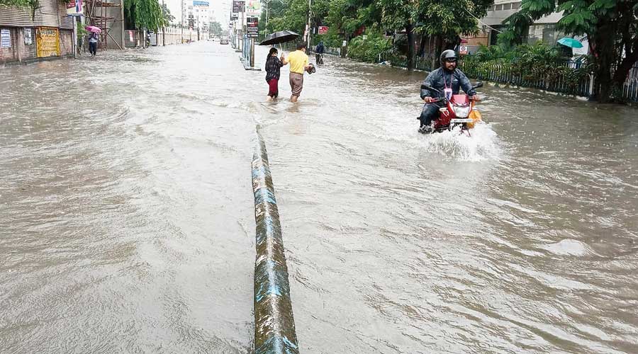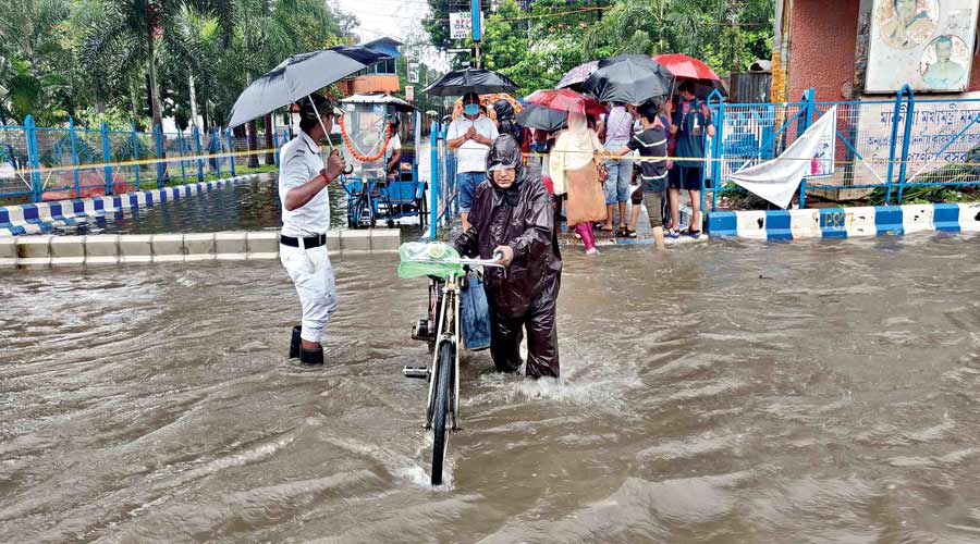
Kolkata received around 150mm of rain between Sunday night and Monday morning.
According to the Met archives, the downpour was the third heaviest in 24 hours in September since 2000. A lowdown on what led to the downpour and what lies ahead.
Q: How much did it rain in Kolkata?
A: Most pockets of Kolkata and surrounding areas received close to 150mm of rain between Sunday night and Monday morning. In Met parlance, 60-120mm of rain in 24 hours qualifies as heavy and 120-200mm as very heavy.
The Met office recorded over 142mm of rain in Alipore, 100mm in Dum Dum and 142.8mm in Salt Lake between 8.30pm on Sunday and 8.30am on Monday.
Dhapa and adjoining areas received around 130mm, Ultadanga around 110mm and Topsia and Ballygunge around 100mm each during the same period.
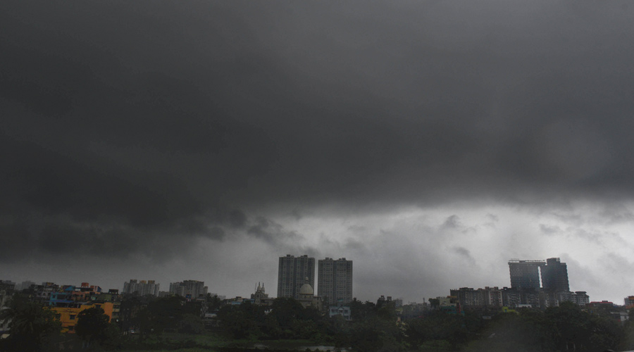
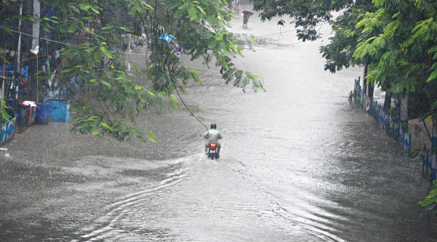
The rain continued almost throughout Monday as well.
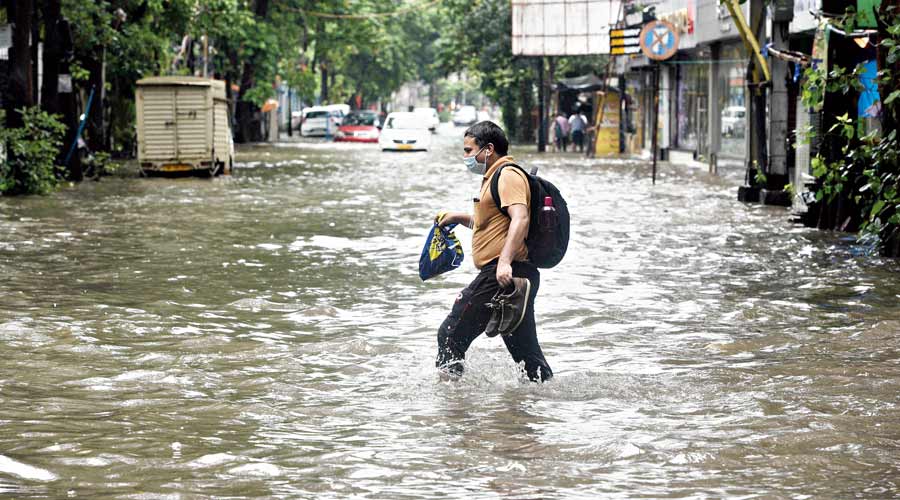
A waterlogged Park Street
Q: What led to the downpour?
A: Three weather systems came into play together to trigger a downpour that Kolkata had not seen in 14 years. In 2007, the city had received close to 175mm of rain on September 25.
Two cyclonic circulations — one over Bangladesh and the other over the Bay of Bengal, off the Odisha coast — merged over Kolkata around Sunday evening.
“The merger happened over a large part of Gangetic Bengal, almost directly over Kolkata,” said G.K. Das, director, IMD Kolkata.
The third catalyst was the monsoon trough. The trough, an imaginary line that joins the low-pressure areas across the breadth of the country during the monsoon, was passing right over Kolkata.
The trough and the new circulation formed by the merger acted like a magnet for rain clouds.
Q: Why did it rain throughout the night?
A: The system hardly moved on Sunday night. In the absence of winds, the clouds were stationed over Kolkata and adjoining districts and emptied themselves, said a Met official. North and South 24-Parganas, Howrah and Hooghly, too, received heavy rain.
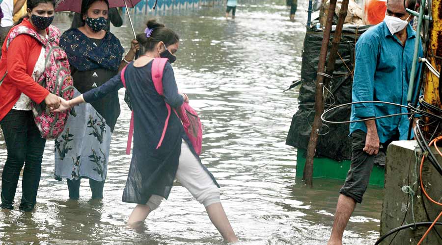
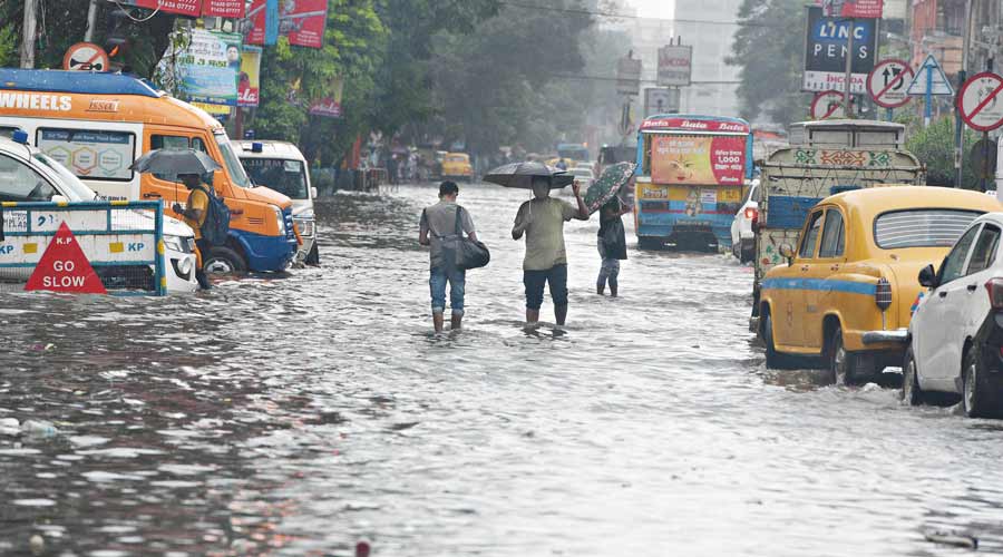
Commuters cross a flooded stretch of College Street
Q: Where was the system on Monday and what is the forecast?
A: Normally, the sky clears after such a heavy spell of rain. But the absence of winds meant the system was positioned over Kolkata for most of Monday.
“The system is positioned over Gangetic Bengal, extending up to 5.8km above the surface. The monsoon trough is also directly over Kolkata. The system will move westwards. Kolkata is likely to see overcast conditions and get more rain on Tuesday as well. But the intensity of the showers will decrease,” said a Met official.
Some areas of South 24-Parganas, Bankura, Purulia, Jhargram and West and East Midnapore are likely to get heavy rain on Tuesday.
Q: What’s with September and heavy rain?
A: The infamous 1978 floods were triggered by 720mm of rain on three consecutive days (September 27, 28 and 29), according to the Met archives. Between 1970 and 2020, the city saw over 100mm of rain in 24 hours in September at least 19 times.
But a senior Met official said there was little evidence to single out September as the time for these monster downpours in Kolkata.
“The rain in south Bengal is driven by weather systems — circulations, low pressures and depressions — more than monsoon currents. There is no conclusive evidence that September is the most conducive time for the formation of such systems,” he said.
Any rain towards the end of the monsoon is more impactful because the water bodies are already brimming, he said.