Consistent rainfall in September has for the first time pushed Kolkata into the surplus zone this monsoon.
Between September 1 and 7, the city received 145.2mm of rain, almost double its usual quota of 76.6mm in this period.
However, because of a significant deficit each in the rainiest months of July and August, the cumulative rainfall the city received this season is still 23 per cent short of the usual volume, according to the Met records.
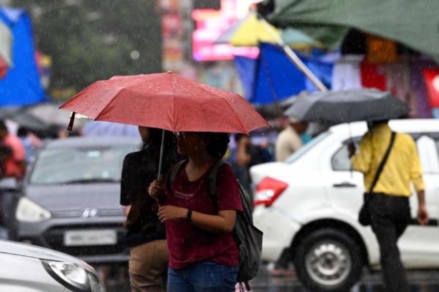
Rain and clouds played hide and seek till Thursday afternoon, after which the clouds took over the city sky. The conditions remained overcast for the rest of the day and multiple spells of rain came calling. None of them were fierce like the ones that had been striking the city since last weekend, flooding roads and stalling traffic.
On Thursday, the rain seemed like a drizzle but it kept coming. Between Wednesday night and Thursday night, the Met office recorded around 30mm of rain in Alipore, the official logbook for Kolkata.
In comparison, several parts of the city had been receiving over 60mm of rain — which qualifies as heavy in Met parlance — in just a couple of hours during the rainy spell last weekend.
A Met official said the volume and intensity of the showers were higher in Kolkata in the run-up of a system on the Bay of Bengal.
"What was a low-pressure area on the northwest and adjoining west-central Bay of Bengal (off the south Odisha and north Andhra coastline) has now weakened considerably. But there is an associated cyclonic circulation over interior Odisha. The monsoon trough is passing through Gopalpur (in Odisha)," said G.K. Das, director, India Meteorological Department, Kolkata.
"There is a steady flow of moisture-laden southeasterly winds because of the trough and the circulation. The clouds formed on the Bay of Bengal are moving towards Kolkata and south Bengal to cause rain," he said.
Till a few days ago, the precursor of the low-pressure area was over the north Bay, which is closer to Kolkata. The system injected moisture into the city, which teamed up with the pent-up heat to create local thunderclouds that triggered sharp spells of rain.
More rain is in store for Kolkata, at least for the next 24 hours, according to the forecast.
"The monsoon trough is expected to rise and come close to Kolkata by Friday before moving further north. The city is likely to get some rain. But the rain is expected to go down from Saturday. North Bengal is tipped to get more rain from Friday onwards" said Das.
The cyclonic circulation over Odisha is likely to move towards Madhya Pradesh via Chhattisgarh, he added.