March is gone and April is here but the city is yet to see the season’s first squall.
The hot and humid conditions throughout the day have been triggering hopes of a Nor’wester, a squall synonymous with this time of the year, in Kolkatans, only to be belied. All that the city has been getting is breezy evenings.
The Met office has put the blame on an unusual weather situation that has led to dry conditions sweeping swathes of central India.
The Telegraph digs deeper
What
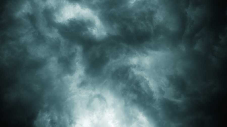
A squall is a storm that usually brings rain.
A Nor’wester is a squall that originates over the heated Chhotanagpur Plateau in the late afternoon and sweeps through parts of eastern India over the next three to five hours at a wind speed of over 45kmph. It is usually followed by a brief spell of rain.
Kolkata has got neither so far this summer.
The city’s usual quota is “a couple of squalls in March and around eight” in April and May,” according to the Met office.
How
A prerequisite for a storm is a low-pressure area over central India, said Met officials.
The sea surface over the Bay of Bengal then becomes a relatively high-pressure area and wind travels from sea towards the low-pressure area.
The moisture-laden winds lead to the formation of thunderclouds that trigger a storm that moves towards south Bengal via Jharkhand.
“The Chhotanagpur Plateau has been witnessing heating but not enough moisture for the thunderclouds to take shape,” said a Met official.
A cyclonic circulation was over Jharkhand on Saturday but it was “too feeble” to have any impact, said the official.
In some cases, significant moisture levels in Kolkata can also trigger localised squalls in the city if there is enough heating throughout the day.
The moisture level in Kolkata has led to clouding. But it is not strong enough to form strong rain-bearing clouds, said the official.
Why not
A high-pressure area over central India and adjoining areas is the reason for the unusual weather, according to the Met office.
“The high-pressure area is over Madhya Pradesh and adjoining areas. There is no system on the Bay of Bengal. As a result, wind is blowing from land towards the sea.
In a way, the situation has reversed,” said G.K. Das, director of IMD, Kolkata.
Swathes of central India has been going through a dry patch for the past eight-ten days because of this climatic condition, he said.
“Parts of Jharkhand are seeing day temperatures well over 40 degrees Celsius. The western districts of Bengal have also been witnessing extremely hot and dry conditions,” he added.
Under the present situation, moisture-laden winds from the Bay are headed towards the eastern part of the Himalayas.
“When central India is dry in summer, rain usually happens in north Bengal and the Northeast. A similar situation prevails now,” said a Met official.
What next
“There is a possibility of the formation of a low-pressure area over the Bay of Bengal around April 7.
If the system comes near the coast, Calcutta may get some rain,” said Das.
But there is no immediate possibility of a Nor’wester or a squall in the next couple of days, according to the Met office.
The only rider — weather situations are prone to sudden changes in the pre-monsoon period.