
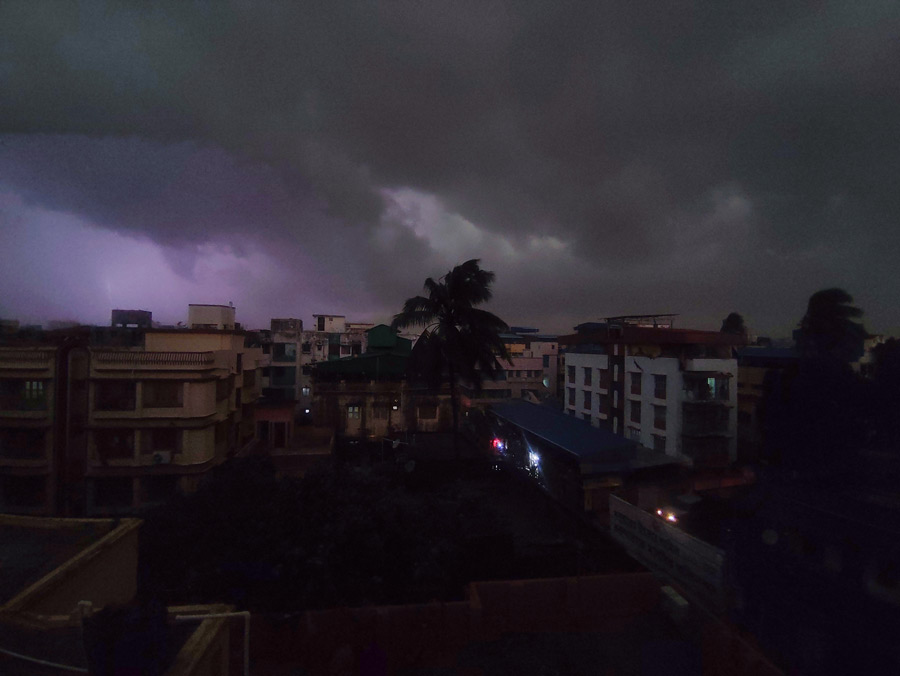
The system over the Bay of Bengal that is expected to intensify as Cyclone Sitrang is likely to head towards Bangladesh, sparing Kolkata the worst, the Met office said on Friday.
Diwali, which falls on Monday, is still likely to be rainy in Kolkata.
But there is unlikely to be any large-scale damage caused by rain and winds, according to the forecast. “The system is expected to move northwestwards till the early hours of Monday. Then, just before intensifying into a cyclone, it is expected to take a recurve and move north first and then northeast. Though the system is expected to intensify into a severe cyclonic storm, it is likely to move towards Bangladesh,” said G.K. Das, director, India Meteorological Department, Kolkata.
“If the storm sticks to the projected path, Kolkata is likely to get light to moderate rainfall on Monday and Tuesday, along with occasional gusts of wind.”
A forecast track issued by the Met bulletin on Friday suggested as much.
The path shows a northward turn when the system is a deep depression far off from the coast and then a slight northeastward turn, moving away from the Odisha coast and heading towards Bangladesh.
“The low-pressure area over north Andaman Sea and adjoining areas of south Andaman Sea and southeast Bay of Bengal persists. It is very likely to move west-northwestward and concentrate into a depression over east-central and adjoining southeast Bay of Bengal around October 22 and into a deep depression on October 23,” said a Met bulletin on Friday.
“Subsequently, it is very likely to recurve northwards and intensify into a cyclonic storm over west-central and adjoining east-central Bay of Bengal by October 24. Thereafter, it is likely to move gradually northnortheastwards and reach near West Bengal-Bangladesh coasts on October 25,” the bulletin said.
The system is expected to turn into a cyclone early on Monday and a severe cyclonic storm on Tuesday evening. The same bulletin said heavy rain is likely in North and South 24-Parganas and Purba Medinipur districts on Monday and Tuesday. The intensity of the rain is likely to go up on Tuesday.
The three districts are likely to see winds blowing at 45-55kmph with gusts of 65kmph on Monday. On the same day, Kolkata, Howrah, Hooghly and Paschim Medinipur are likely to get winds clocking 40kmph.
On Tuesday, some islands in the Sunderbans in North and South 24-Parganas and pockets by the sea in Purba Medinipur are likely to be buffeted by winds clocking 100kmph. Kolkata, Howrah, Hooghly and Paschim Medinipur are likely to get gusts clocking 55kmph.
Over the north Bay of Bengal, the system is likely to generate winds clocking 110kmph at its peak on Tuesday evening.