A low pressure area, billed as the prelude to Cyclone Sitrang, took shape over the north Andaman Sea on Thursday. The system is likely to get stronger as it barrels towards the eastern coast and is tipped to turn into a cyclone over the Bay of Bengal by Monday, according to the Met forecast. Thereafter, Sitrang is likely to recurve, skirt the Odisha coast and head towards the West Bengal and Bangladesh coast, according to a Met bulletin on Thursday.
A lowdown on the storm
Now and next
On Monday morning, the system was a low-pressure area over the north Andaman Sea. “It is very likely to move west-northwestwards and concentrate into a depression over east-central and adjoining southeast Bay of Bengal around October 22 and into a deep depression on October 23,” said a Met bulletin issued on Thursday morning. “Subsequently, it is very likely to recurve northwards and intensify into a cyclonic storm over west-central and adjoining east-central Bay of Bengal by October 24. Thereafter, it is likely to move gradually north-northeastwards and reach near West Bengal-Bangladesh coasts on October 25, skirting Odisha coast,” it said.
Target
On Tuesday, Met officials had said it was too early to predict details about the possible target — they had pointed to the entire eastern coastline, from Andhra Pradesh to Bangladesh — of the storm, the second cyclone over the Bay of Bengal this year after Asani in May. On Thursday, a Met official narrowed it further down. “The storm is expected to be headed towards the Bengal and Bangladesh coastline. Andhra Pradesh and Odisha can be ruled out,” said G.K Das, director, India Meteorological Department, Kolkata. The Bangladesh coastline is much longer than the West Bengal coastline. The possible area of landfall can be further narrowed down after the system becomes a depression, said Met officials. Unlike Asani, which fizzled out on the sea, Sitrang is “more or less” certain to make landfall, said a Met official. “The sea surface temperature, wind shear and other factors are likely to be favourable to keep the system strongtill it hits the coast,” said the official.
Impact on Kolkata
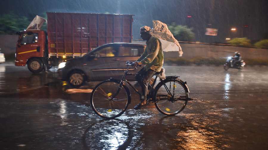
The weather in Kolkata is likely to be dry till Saturday. The sky is likely to become cloudy from the second half of Sunday. Monday and Tuesday are likely to be rainy in districts of south Bengal. A Met bulletin on Thursday said North and South 24-Parganas and Purba Medinipur districts are likely to get heavy rain on Monday and Tuesday. Sources in the Met office said the forecast would be updated as the storm nears the coast. The impact on Kolkata will depend on the area of landfall. The West Bengal coastline spans from Purba Medinipur to the Sunderbans in the South24-Parganas.
The Sunderbans is around 100km from the heart of Kolkata, while Digha in Purba Medinipur is over 150km away.
A cyclone has three main impacts on coastal areas — rain, wind and storm surge. On May 20, 2020, Amphan had made landfall as a very severe cyclonic storm in the Sagar islands, 100km from Kolkata. The storm swept Kolkata, North 24-Parganas and parts of Nadia, causing widespread destruction. The Met bulletin on Thursday predicted windspeeds clocking 80-90kmph on the north Bay on Monday and Tuesday.
Monsoon bids adieu
The monsoon withdrew from Kolkata and the rest of Bengal on Thursday, said a Met official. The retreat from north Bengal was completed on October 15. The usual date of the withdrawal of the southwest monsoon from south Bengal is October 12.