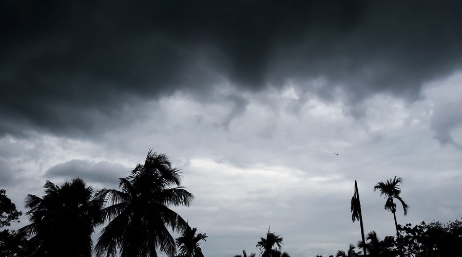
The life cycle of a monstrous storm tipped to hit the east coast by this weekend and trigger heavy rain in Kolkata, was kick-started with the emergence of a low-pressure area over the Andaman Sea on Wednesday.
Till Wednesday night, Met officials did not provide any additional details on the time and space of landfall of Cyclone Jawad. It would “reach near” the Andhra Pradesh and Odisha coasts around Saturday morning, a Wednesday bulletin iterated after a similar one a day before.
The system, over Thailand on Tuesday, had moved to the centre of Andaman Sea in 24 hours. Moving west-northwestwards, it is likely to reach “southeast and adjoining east-central Bay of Bengal” by Thursday, intensifying into a depression during its journey.

By Friday, the system would turn into Cyclone Jawad, having moved to central parts of the Bay of Bengal, according to the Met bulletin.
“The system would keep growing in size and strength. Accordingly, the speed of winds it generates would go up. As its travels towards land, the storm will gain momentum,” said a weather scientist.
The Met bulletin said the storm was likely to “intensify further” even after turning into a cyclone. In Met parlance, a cyclone generates windspeeds of around 63kmph to 117kmph. A storm generating a windspeed of more than 117kmph qualifies as a severe cyclonic storm.
“Intensification does not mean that the cyclone will turn into a severe cyclonic storm. There is ample room for intensification, while still remaining a cyclonic storm,” he said.
The Kolkata weather is likely to get warmer because of the moisture incursion triggered by the storm as it nears land, the Met office said.
Even on Wednesday, the earning morning had a hint of chill but as the day progressed, the conditions changed. The overhead sun in the afternoon was nothing like that of early December.
A western disturbance that is tipped to bring rain and snowfall in the northern and northwestern parts of the country and a cyclonic circulation over the Arabian Sea have scuttled the chances of chill in Kolkata in the near future, said a Met official.
“Consistent rain might lower the day temperature. But the wintry chill is unlikely, at least for the next several days,” he said.