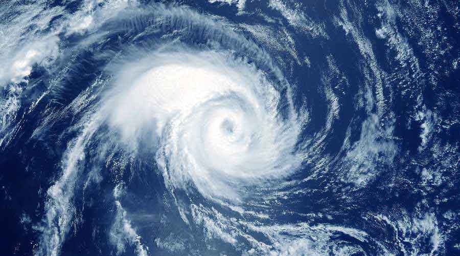
Cyclone Asani lost strength rapidly between midnight and the early hours of Wednesday.
The storm was a cyclone on the west-central Bay of Bengal on Wednesday afternoon and was tipped to dissipate over the sea in the next 24 hours, before even coming near the Odisha coast, Met officials said.
Kolkata got scattered showers on Wednesday. The moisture generated by Asani can trigger a couple of thunderstorm spells on Thursday and Friday, said the official.
North Bengal is likely to get heavy rain between May 12 and 15 because of strong southwesterly winds, according to the Met forecast.
Position
Around 2.30pm on Wednesday, the system was around 30km from the Machilipatnam coast in Andhra Pradesh, the closest to land in its life cycle. That means over 750km from Kolkata.
“It is very likely to move north-northeastwards along Narsapur, Yanam, Kakinada, Tuni and Visakhapatnam coasts…. It is likely to weaken into a deep depression by tonight and further into a depression by May 12 morning,” said a Met bulletin on Wednesday night.
Power
The system lost a great deal of strength between midnight and 4am on Wednesday, said Met officials.
The depletion of the system had robbed it of speed. From 12kmph on Monday night, the speed had reduced to 4kmph on Wednesday afternoon.
Three factors were behind the weakening of the storm.
Dry northwesterly winds kept entering the system as it neared land. “Moisture and heat are the lifelines of a cyclone. The dry winds had started entering the system when it was mid-sea. But they became dominant as the system neared the coast,” said G.K. Das, director, IMD, Kolkata.
A strong vertical wind shear also damaged the system. “The system became top-heavy. Most of the shear was on the land but the central point of the core of the system was still in the sea. As a result, the system got tilted and weak,” said Das.
Lastly, the friction in the coastal areas, in the form of houses, trees and electrical and telephone towers, also weakened the system.
The outer band of the system faced resistance from the friction.
Forecast
Rain in Kolkata, if any, is likely to come in the form of thunderstorms on Thursday and Friday, said Das.
The rain since Monday has been triggered by the outer clouds of the cyclone.
“There is a lot of moisture in the atmosphere in and around Kolkata, accumulated over the past 72 hours. If there is sufficient heating, the moisture can combine with the heat to form thunderclouds,” said Das.
