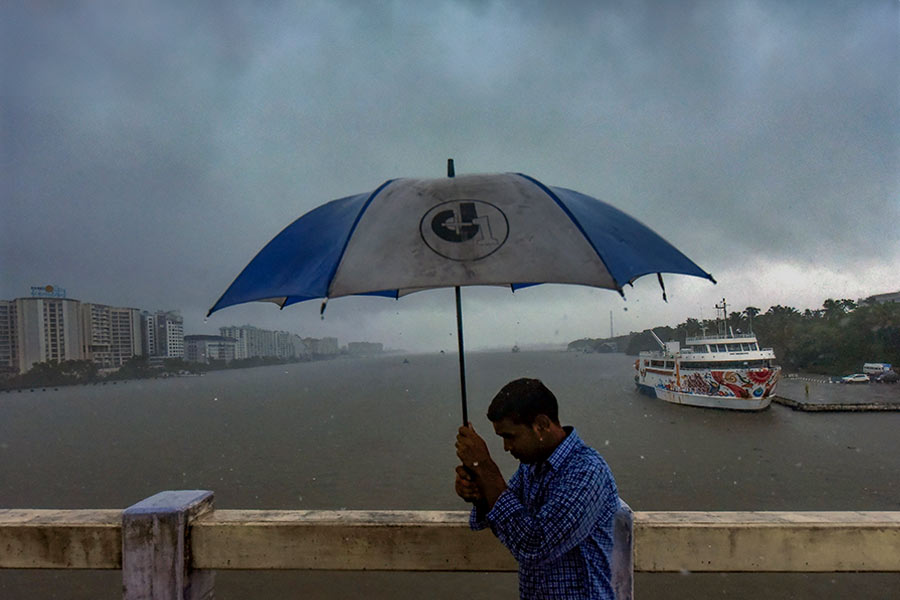
Jharkhand can look forward to more rains as a depression is brewing over the Bay of Bengal, the weatherman said on Wednesday.
The state is already witnessing regular thundershower activity owing to frequent Nor'westers.
“Under the influence of a cyclonic circulation over south Andaman Sea, a low-pressure area has formed over southeast Bay of Bengal. An associated cyclonic circulation is extending up to mid-tropospheric level. It is very likely to concentrate into a depression over central parts of south Bay of Bengal on May 15 and further intensify into a cyclonic storm by May 16,” said S.D. Kotal, director of India Meteorological Department’s Ranchi Centre.
On Wednesday, several places in central and north-eastern Jharkhand witnessed thundershower activity triggered by a low-pressure trough over western Madhya Pradesh.
The Met department had issued as many as five nowcasts (short-term forecasts) for thundershower activity in various districts on Wednesday afternoon.
Statistics showed that light to moderate rain occurred at isolated places over the state during the past 24 hours.
Bokaro recorded the highest amount of rainfall at 34.8mm.
The Ranchi meteorological centre also predicted rainfall activity in isolated pockets of Jharkhand till May 20.


