A low-pressure system over the Bay of Bengal will intensify and reach Bangladesh and adjoining West Bengal coasts as a severe cyclonic storm by Sunday evening, the IMD said on Thursday.
This is the first cyclone in the Bay of Bengal this pre-monsoon season and will be named Remal, according to a system of naming cyclones in the Indian Ocean region.
"The system will concentrate into a depression over central Bay of Bengal by Friday morning. It will further intensify into a cyclonic storm on Saturday morning and reach Bangladesh and the adjoining West Bengal coast as a severe cyclonic storm by Sunday evening," said India Meteorological Department (IMD) scientist Monica Sharma.
According to the IMD, the cyclone could reach a wind speed of 102 kilometres per hour on Sunday.
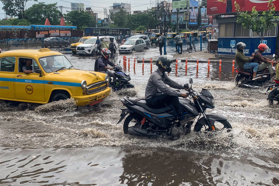
The Met office has warned of very heavy rainfall in the coastal districts of West Bengal, north Odisha, Mizoram, Tripura and south Manipur on May 26-27.
Fisherfolk out at sea have been advised to return to the coast and not venture into the Bay of Bengal until May 27.
Scientists say cyclonic storms are intensifying rapidly and retaining their potency for longer periods due to warmer sea surface temperatures, a result of oceans absorbing most of the excess heat from greenhouse gas emissions.
The past 30 years have witnessed the highest sea surface temperatures since records began in 1880.
According to senior IMD scientist DS Pai, warmer sea surface temperatures mean more moisture, which is favourable for the intensification of cyclones.
Madhavan Rajeevan, former secretary of the Union Ministry of Earth Sciences, said a sea surface temperature of 27 degrees Celsius and above is needed for a low-pressure system to intensify into a cyclone. The sea surface temperature in the Bay of Bengal is around 30 degrees Celsius at present.
"The Bay of Bengal and the Arabian Sea are very warm at present, so a tropical cyclone can easily form," Rajeevan said.
But tropical cyclones are not only controlled by the ocean; the atmosphere also plays an important role, especially in terms of vertical wind shear -- a change in wind speed and/or wind direction with altitude.
"A cyclone will not intensify if the vertical wind shear is very large. It will weaken," Rajeevan said.
Models suggest the cyclone will not affect the monsoon progress, the senior meteorologist said.
Pai, however, said it could affect the progress of the monsoon in some parts.
He told PTI, "Initially, the system will help the monsoon progress over the Bay of Bengal. Thereafter, it will detach from the monsoon circulation and pull a lot of moisture, which could result in a slight delay in the monsoon progress in that area."
Except for the headline, this story has not been edited by The Telegraph Online staff and has been published from a syndicated feed.