A cyclonic circulation over Bihar and adjoining areas of north Bengal triggered light to moderate rain across Bengal on Monday.
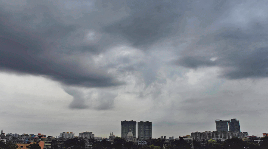
Calcutta woke up to a cloudy sky and claps of thunder on Monday. Intermittent rain continued through the first half of the day.
Usually, in the aftermath of a cyclone, the weather is hot and dry because the storm sucks all moisture in the atmosphere. Same had happened in the wake of cyclone Amphan.
But with monsoon knocking on the doors of mainland India, the trail of Yaas is different from Amphan, said a Met official.
The route Yaas took after hitting land — quite different from that of Amphan — has also played a role in the weather after the storm.
Timing
The cyclonic circulation over Bihar and adjoining parts of north Bengal, being fed by south-westerly winds from the Bay of Bengal, was behind the clouds and rain in almost all districts of Bengal, according to the Met office.
“Strong southerly and south-westerly winds from the Bay are moving towards the circulation. These moisture-laden winds are leading to formation of thunderclouds,” said Sanjib Bandyopadhyay, deputy director general, India Meteorological Department, Calcutta.
Yaas hit the east coast on May 26, with days left for the onset of the monsoon in Kerala. South-westerly currents remain strong over the Bay during this time.
“Amphan had hit land on May 20 last year. The weather in its trail was comparatively drier because the monsoon currents on the Bay were not as strong as they are now,” said a weather scientist.
Route after landfall
After making landfall in Sagar Islands in South 24-Parganas, Amphan travelled via Calcutta and North 24-Parganas towards Bangladesh.
On the other hand, Yaas, after having made landfall near Balasore in Odisha, travelled via Jharkhand and Bihar. A couple of days ago, the system had degenerated into a low-pressure area over eastern Uttar Pradesh and Bihar.
“If Yaas had moved towards Bangladesh and Myanmar, the weather in Calcutta would have been hot and dry. The wind flow would have been towards Bangladesh and Myanmar,” said a Met official.
But since Yaas moved in the opposite direction, the wind flow is still towards Jharkhand, Bihar and Uttar Pradesh. These winds, most of them coming from the Bay, are travelling through Bengal, the official said.
A breakaway cloud mass from the remains of Yaas had drifted towards the city on Thursday — a day after the storm’s landfall — and led to a downpour.
Forecast
“The south Bengal districts are likely to see clouds and thundershowers on Tuesday as well. The rainfall is likely to be light to moderate. The districts of north Bengal are tipped to get light to moderate rain for the next five days,” said Bandyopadhyay.
Calcutta is set to witness overcast conditions and temperatures are likely to be on the lower side over the next two days.
“The maximum and minimum temperatures in the city are likely to remain around 32 degrees and 24 degrees over the next two days,” a Met official said.