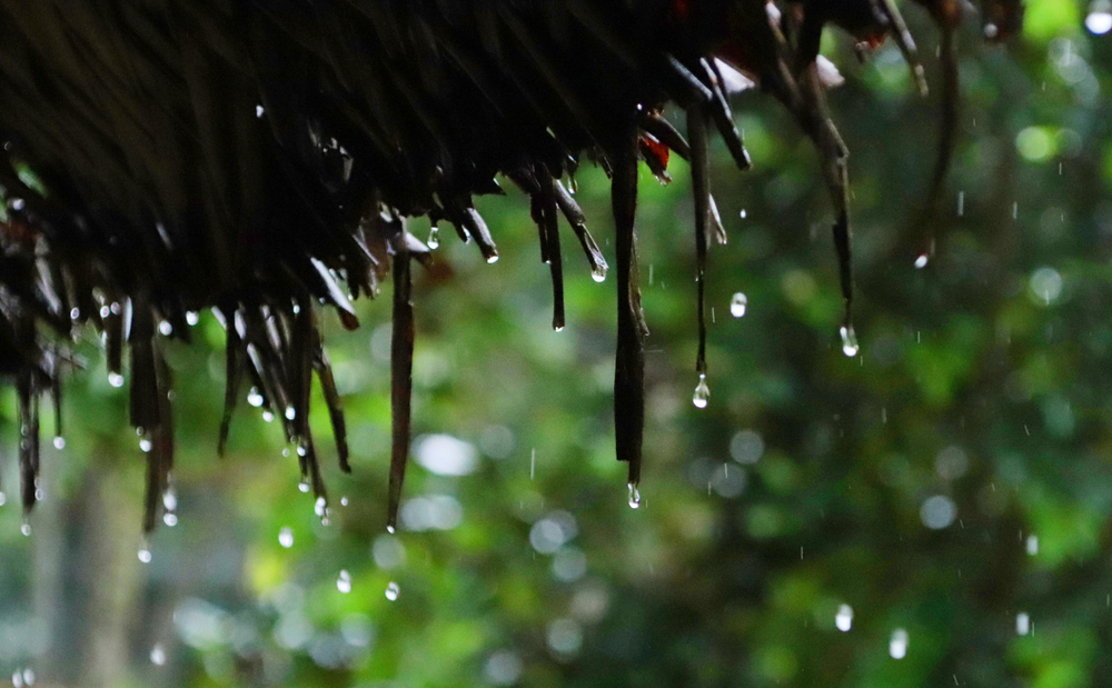
Jharkhand on Friday woke up to overcast skies and unseasonal showers at many places
Synoptic features suggested that the trough between 2.1km and 3.1km above mean sea level ran from southwest Uttar Pradesh to north interior Odisha across northeast Madhya Pradesh and north Chhattisgarh. A cyclonic circulation hovered over northwest Uttar Pradesh between 3.1km and 3.6km above mean sea level. A cyclonic circulation also prevailed over northern parts of the Gangetic West Bengal at 3.1km above mean sea level.
All these weather systems led to rainfall over Jharkhand.
Jamshedpur recorded the highest rainfall of 34mm during the last 24 hours (8.30am of Thursday to 8.30am of Friday). Ghatshila recorded over 30mm rain, Chaibasa, Simdega and Ranchi around 20mm. Ramgarh, Hindgir (Ranchi), Manatu (Palamau), Daltonganj, Pakuria (Pakur), Kuru (Lohardaga), Latehar, Massanjore (Dumka), Maithon (Dhanbad), Barkisuraiya (Giridih), Putki and Topchanchi (both Dhanbad), Dhanbad city, Chatra and Bokaro recorded 10mm rain.
IMD’s Ranchi Meteorological Centre issued a forecast of cloudy skies with the possibility of light to moderate rain in isolated places of northern Jharkhand in the next 24 hours. Dry weather is likely from Sunday, January 5, with fall in night readings.