
Bhubaneswar, Feb. 22: The state government plans to develop a Geographic Informations System (GIS)-based land bank to track, maintain and protect its acres lying idle.
According to the project plan, the Odisha Space Application Centre (Orsac), in coordination with the housing and urban development and general administration departments and the Bhubaneswar Development Authority, will develop the land bank, which will be a GIS-based map.
The GIS is a computer system that captures, stores, checks, and displays data related to positions on the Earth's surface, capable of showing various kinds of data on a single map. This enables users to analyse and understand patterns with relative ease.
The technology allows people to compare locations of various things and discover the relationship between each other.
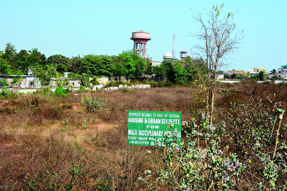
The bank will have data regarding location, measurement and status of land. "Encroachers have taken over many government land in and around the city. This is a loss for the government since it could not undertake any project on its own land," said a housing and urban development official.
He said the GIS-based map would help them track and reclaim land in case of encroachments. "At present, the data is documented in papers and it often gets difficult to keep a track of the land. The GIS platform would ease the job and can give us instant information," said the official.
Sources said Orsac would obtain data on vacant government land from the development authority and compile it in a single map. It would then integrate the data to bhulekh.ori.nic.in, the state government's official website, to allow easy access to information across Odisha.
"We have been tasked with compiling data on the government's vacant land and come up with an integrated system that would allow the authorities easy access to the information. We are hopeful of completing the job and submitting the report within six months. They will then verify the data and the land bank will begin doing its job," said an official of Orsac.
Mayor Ananta Narayan Jena said many government land in the city remained under-utilised mainly because of encroachment. "The system would help protect the land from encroachers. It would help us undertake different development work on the land," he said, adding that the project's aim was to acquire available land for construction of houses for the urban poor.
In the past two months, the general administration department has undertaken the task of identifying encroached government land, while a special joint squad of city officials are conducting regular demolition-cum-eviction drives.
"We are doing as directed by the general administration department. The map will make identification of land easier and help us expedite the work," said the development authority's liaison officer Subhransu Mohanty.
This is, however, not the state's first tryst with the technology. Earlier, the civic body had undertaken a similar move and co-ordinated with Orsac to begin a GIS-based survey of properties here and to keep a track on tax defaulters. The maps would help spot each house within corporation limits and work on collecting data for the purpose is still under way.