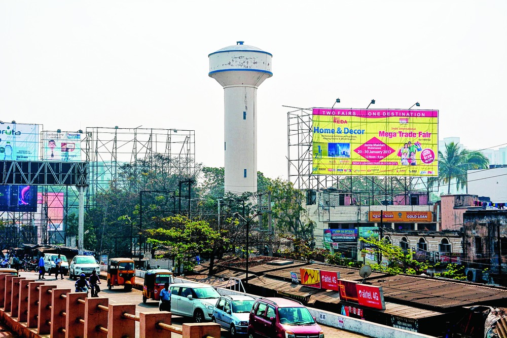

Bhubaneswar, Jan 21: The Public Health Engineering Organisation (Pheo) has decided to map its water utility assets in the city to ensure smooth water supply facility with an eye on safety measures.
It has identified 45 such utilities, including overhead and underground tanks and pumping stations in different parts of the city, which will be tagged with geographic information system (GIS).
Officials said geo-tagging utilities would help track their performance.
"GIS-mapping of water utilities will help monitor the performance in real time. Officials can track and provide instant assistance in case of any problem," said Pheo's superintending engineer C.R. Jena.
Pheo has assigned the Water Corporation of Odisha (Watco) to execute the job on its behalf.
"We have already conducted a survey to identify the city's water utility assets. Officials have visited the sites and obtained information about their age and capacity and will update the data in the system," said Jena.
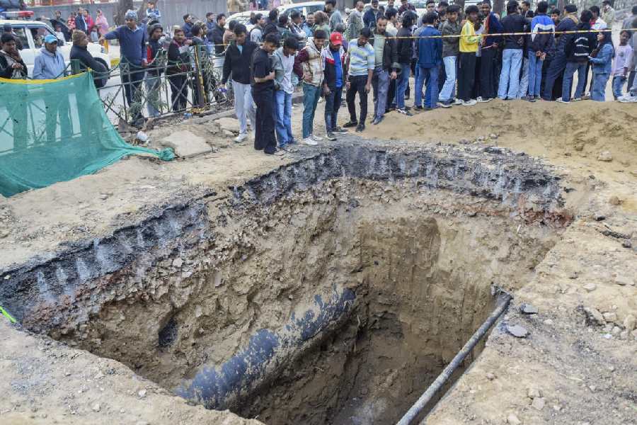
Sources said frequent outbreaks of water-borne diseases, including jaundice, forced Pheo's to take the decision.
A technical official of Watco said the mapping facility would provide a platform to understand and optimise water operations through the integration of information from sensors, meters, crews, pipes and more. "The mapping of the utilities and maintain a single database would help the administration while ensuring safe water supply," he said.
Sources said Watco would hire a technical consultant to complete the job after obtaining the information.
"It is a good step. Water should kept safe at the source to avoid contamination," said Rasulgarh resident Sunil Pradhan.
In a related development today, Pheo officials took part in a workshop where they received training on an online project implementation and monitoring dashboard under the Atal Mission for Rejuvenation and Urban Transformation (Amrut) scheme. The dashboard will track different water supply projects to be executed under Amrut.