Michaung intensified into a “severe cyclonic storm” on the Bay of Bengal on Monday, pounding Tamil Nadu with incessant rain that sank neighbourhoods, disrupted transport and communication and brought a crocodile on a Chennai road.
The storm is likely to sustain its momentum at the time of landfall — likely on Tuesday “forenoon” — in neighbouring Andhra Pradesh.
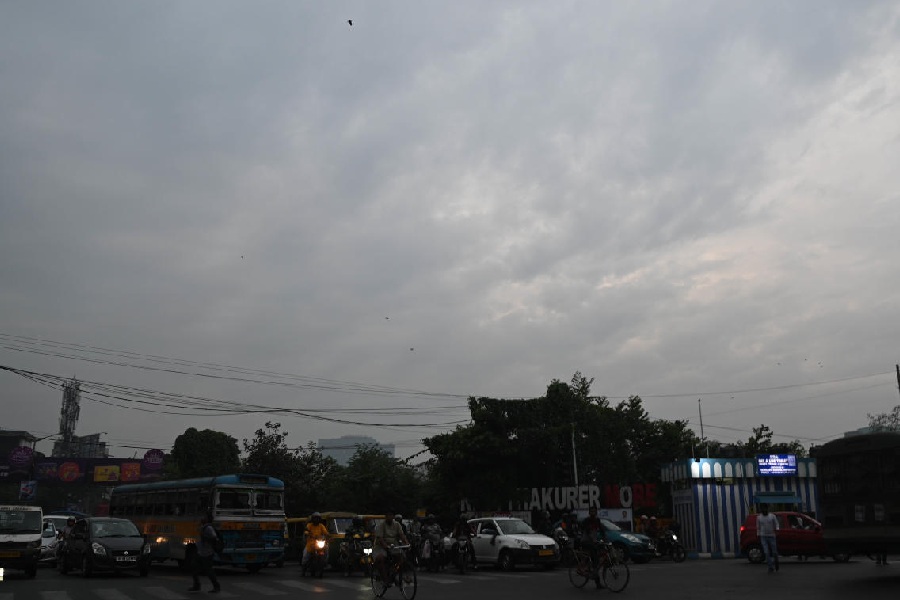
In Calcutta, the sky was cloudy throughout Monday. The moisture has completely stalled the cold northwesterly winds, leading to a rise in the night temperature. The winds are not expected to return till the weekend, said a Met official.
But the days are going to be cooler in Calcutta as a weaker version of the system comes closer to Bengal.
From around 29 degrees the day before, the maximum temperature slid to 26.8 degrees on Monday.
A depleted version of the storm is likely to move towards Odisha and is expected to cause light rain in Calcutta on Wednesday and Thursday.
The maximum temperature is likely to go further down to around 25 degrees, said a Met official.
The clouds and rain may cause a feeling of chill but the minimum temperature is likely to remain on the higher side till the weekend.
Cyclone Michaung was on the west-central and adjoining southwest Bay of Bengal, off south Andhra Pradesh and adjoining north Tamil Nadu coasts, on Monday afternoon.
A video that has gone viral on social media. shows a crocodile on a flooded road in the Perungalathur area of Chennai. A two-wheeler is shown stopping at the sight of the crocodile, which crosses the road before disappearing in the surrounding thicket.
“It is likely to intensify gradually and move nearly northwards almost parallel and close to south Andhra Pradesh coast and cross south Andhra Pradesh coast between Nellore and Machilipatnam... during the forenoon of December 5 as severe cyclonic storm with a maximum sustained wind speed of 90-100kmph, gusting to 110kmph,” said a Met
bulletin.
By the evening of Wednesday, when it is near Odisha, just above Andhra Pradesh, the system is expected to have turned into a well-marked low-pressure area.
“There is a chance that the system is likely to dissipate before it enters Odisha but even then, some rain is likely in Calcutta,” said a Met official.