Cyclone Asani is tipped to fizzle out before coming near the Bengal coast by May 12. It is the fifth cyclone on Bay of Bengal since 2020. Here's a snapshot of how it fares against its predecessors.
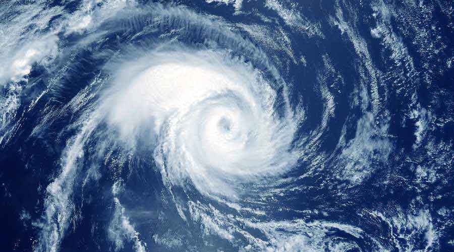
Asani (May 2022)
• Started as a low-pressure area over south Andaman Sea
• Path: The system moved in a northwestward direction till teaching the Andhra-Odisha coast early on Wednesday. After that, it may make a north-northeastward recurve and move along the Odisha coast in a depleted form
• Strongest form on sea: On Sunday evening, the system turned into a severe cyclonic storm.
• Landfall: The system is expected to deplete into a cyclone by Wednesday morning. Thereafter, it is tipped to lose strength gradually. Unlikely to hit land, Asani is expected to fizzle out in the sea.
• Impact (so far) on Kolkata: Clouds from the outer band of the storm triggered sharp spells of rain on Monday and Tuesday.
Jawad (Dec 2021)
• Started as a low-pressure area on Andaman Sea
• Path: The system initially moved in a north-northwestward direction towards the Andhra-Odisha coast and then took a northeastward recurve and kept moving along the Odisha and Bengal coast.
• Strongest form on sea: Cyclone
• Landfall: The system did not enter land. It came close to land as a cyclone. But it kept losing steam while moving along the coast and fizzled out in the sea.
• Impact on Kolkata: The system was closest to the Bengal coast on December 5 and 6. On the two days, the city got a decent cloud cover and consistent rain (around 70mm).
Gulab (Sept 2021)
• Started as a low-pressure area over east-central Bay of Bengal
• Path: Kept moving in a westward direction.
• Strongest form on sea: Cyclone
• Landfall: On September 26, Gulab hit land near Kalingapatnam in north Andhra Pradesh, over 750km from Kolkata, as a cyclone.
• Wind speed: Around 80kmph during landfall.
• Impact on Kolkata: No significant impact.
Yaas (May 2021)
• Started as a low-pressure area over eastcentral Bay of Bengal
• Path: Stuck to a north-northwest direction.
• Strongest form on sea: Very severe cyclonic storm
• Landfall: On May 26, Yaas landed as a very severe cyclonic storm 20km south of Balasore, over 250km from Kolkata. After landfall, Yaas stuck to its north-northwest path towards Jharkhand.
• Wind speed: Yaas generated a wind speed of around 140kmph at the time of landfall.
• Impact on Kolkata: Intermittent rain and moderate winds. A day after the landfall, a giant mass of thundercloud from the remnant of the system drifted to Kolkata, triggering around 150mm of rain in the city.
Amphan (May 2020)
• Started as a low-pressure area over south Andaman Sea
•Path: The system was moving in a north-northwest direction at the beginning. But it did not travel in a straight path. It started taking a recurve and travelled in a north-northeast direction towards the Bengal and Bangladesh coasts.
• Strongest form on sea: Super Cyclone
• Landfall: On May 20, Amphan landed as a very severe cyclonic storm in Sagar Islands, 100km from Kolkata. After landing, the storm swept Kolkata, North 24-Parganas and parts of Nadia.
• Wind speed: Amphan generated a wind speed of around 180kmph during landfall.
• Impact on Kolkata: Over 200mm of rain and consistent winds over 100kmph caused large-scale devastation.