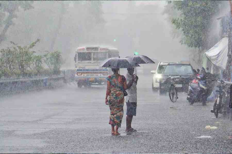
Light rain in the early hours of Tuesday brought Kolkata its first measurable precipitation in several weeks, ending a prolonged winter dry spell that had persisted across much of January and February.
Data from the India Meteorological Department (IMD) showed that 5.9mm rainfall was recorded between 6.30am on February 23 and 6.30am on February 24. The showers were reported from different parts of the city.
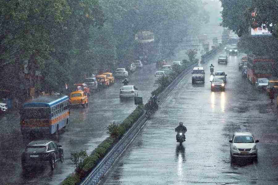
The rainfall on Tuesday was triggered by fresh moisture incursion from the Bay of Bengal along with favourable upper air conditions over Gangetic West Bengal, which led to cloud formation and scattered precipitation Pic credit: Soumyajit Dey
Meteorologists had earlier said to The Telegraph Online that Kolkata and adjoining districts had experienced deficient rainfall through winter due to weak western disturbances and limited moisture inflow into eastern India. While not the longest dry phase on record, officials described the spell as among the more pronounced winter rain deficits in recent years.
The rainfall on Tuesday was triggered by fresh moisture incursion from the Bay of Bengal along with favourable upper air conditions over Gangetic West Bengal, which led to cloud formation and scattered precipitation. The IMD has forecast partly cloudy conditions with the possibility of light rain or thundershower in the city over the next 24 hours on Tuesday. Maximum and minimum temperatures are likely to remain around 29°C and 19°C respectively, with high humidity prevailing.
Following the morning showers, the Regional Meteorological Centre issued a ‘nowcast yellow watch warning’ for parts of West Bengal, including Kolkata, Bankura, Murshidabad, North 24 Parganas, South 24 Parganas and West Burdwan districts. The bulletin predicted light to moderate thunderstorms accompanied by lightning, light to moderate rain and gusty winds of 30 to 40kmph.