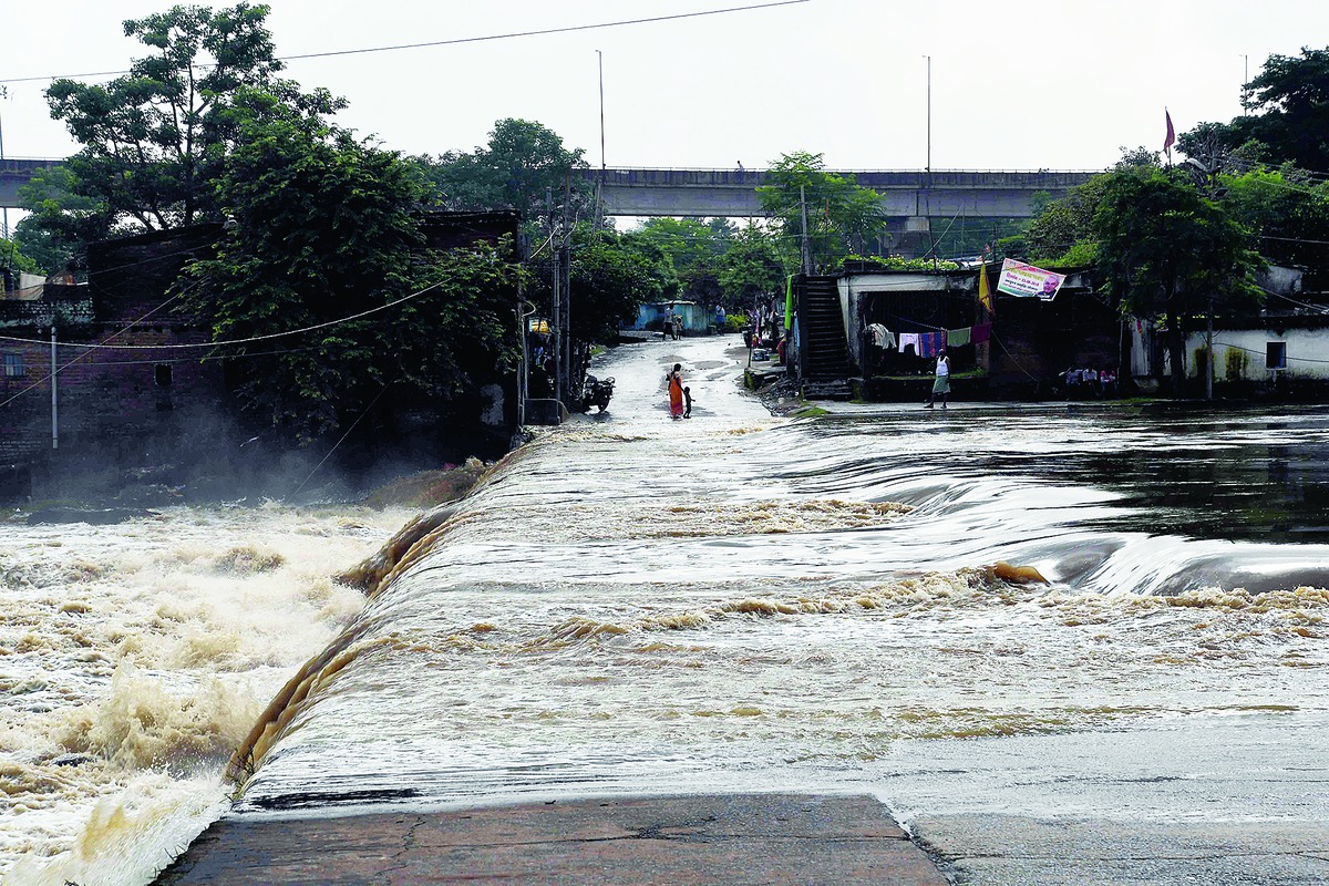

Jamshedpur: The rain god is in a benevolent mood and will continue to shower his largesse on Jharkhand till the deficit drops to normal.
Weathermen on Tuesday warned of heavy rainfall in several parts of the state, especially in southern districts, in the next 48 hours owing to a low-pressure trough over the Bay of Bengal.
"A cyclonic circulation, extending up to 4.5km above the mean sea level, is stationed over north Bay and adjoining areas of Bangladesh and Bengal. Under its influence, a low-pressure area is likely to form in 48 hours. This will impact Jharkhand's weather and result in heavy rain," said Upendra Srivastava, an assistant meteorologist at Ranchi Meteorological Centre.
According to Srivastava, another cyclonic circulation is extending up to 2.1km above mean sea level and hovering over eastern Uttar Pradesh and neighbouring Bihar. The axis of the monsoon trough is currently passing through Ferozepur, Ambala, Bijnor, Hardoi, Balia, Patna, Dhanbad and Calcutta.
Light to moderate rainfall occurred at many places in Jharkhand in the past 24 hours. The highest of 49.6mm was recorded in Ranchi.
Dhanbad and Bokaro recorded between 20mm and 30mm while Deoghar, Godda, Latehar, Lohardaga and Chandil (Seraikela-Kharsawan) received between 10mm and 20mm.
Weathermen at the Regional Meteorological Centre in Alipore, Calcutta, said the upcoming shower show would help reduce the 21 per cent deficit in Jharkhand. Against a normal of 889.4mm, the state has so far recorded 698.8mm.
"We are expecting a good spell in Jharkhand owing to low pressure. The deficit is expected to come down to normal," said a duty officer. In Met parlance, rain loss up to 19 per cent is considered normal.
Only four out of 24 districts - East Singhbhum, Hazaribagh, Latehar and Lohardaga - are currently on the rain surplus list.