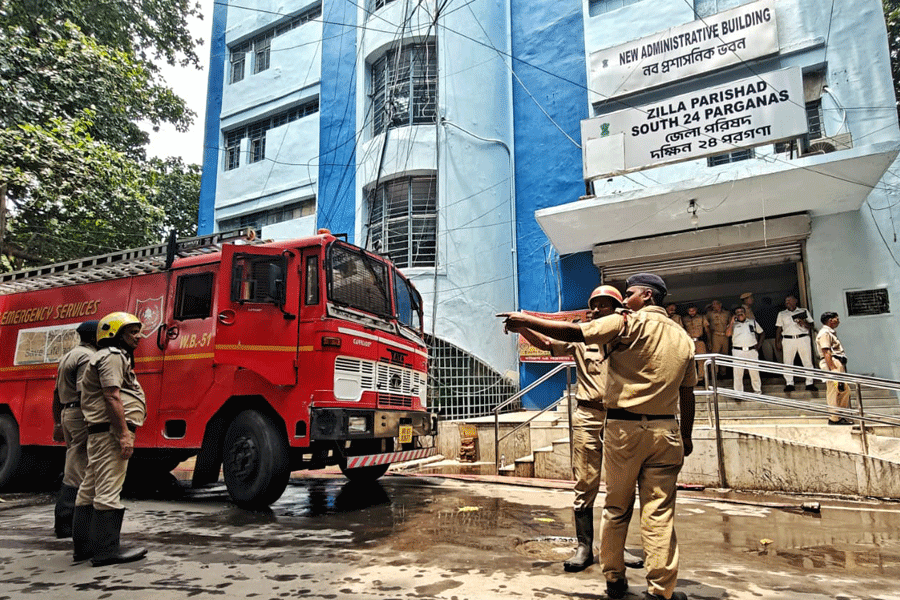
Heavy rainfall since Saturday evening may considerably minimise the monsoon rain deficit in Jharkhand but it is unlikely to improve crop prospects in the state.
Although the Met office had predicted normal rainfall in Jharkhand this monsoon, the data shared by the Ranchi Meteorological Centre (RMC) on Saturday informed that Jharkhand received 752mm of rain between June 1 and September 30 against normal rainfall of 1,022.9mm, recording a deficit of 26 per cent.
The data further showed that only 7 of the total 24 districts received normal rainfall while the rest 17 had less than normal.
Although only Godda and Sahebganj districts actually received 7 and 5 per cent more rainfall than normal respectively, 5 more districts — Bokaro, East and West Singhbhum, Seraikela-Kharsawan and Simdega — were also treated as receiving normal rainfall as deficit in those were less than 19 per cent.
When the rain deficit in a district is within 19 per cent below normal, the Met office considers that as within the normal rainfall range.
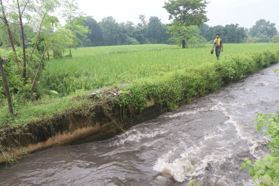
A major part of the state has been receiving heavy rainfall since Saturday evening due to a depression in the Bay of Bengal. The entire state is likely to experience such rainfall until October 4.
“The well-marked low-pressure area over coastal Bengal and adjoining areas of north coastal Odisha and north-west Bay of Bengal lay over south-east Jharkhand and adjoining areas of Bengal and north Odisha at 5.30am this morning,” RMC head Abhishek Anand informed on Sunday, adding it was likely to move further in west-northwestern direction.
Heavy to very heavy rainfall was expected in other parts of the state during the next three days, he further said, adding central and north-eastern parts would receive widespread rainfall over the next two days while the western part was likely to experience rain on the third day.
According to RMC, Tenughat in Bokaro has already received 113mm of rain so far since Saturday, the highest in the state, followed by Nandadih in Giridih (93.4mm) and Chas in Bokaro and Papunki in Dhanbad (88.2mm each).
However, the heavy rainfall would not compensate for the monsoon rain deficit and help improve crop prospects in the state, said Ramesh Kumar, who heads the agricultural meteorology department of Birsa Agriculture University in Ranchi. “There was a dearth of sufficient rain when it was needed most — at the time of sowing — and now it’s pouring when not needed so much,” said Kumar.
“This rain will rather adversely impact the standing crop, particularly on low lands,” he further said, explaining water would accumulate in fields in low-lying areas that could damage the crop while those on high lands would be rather safe.
Only those who could not transplant paddy due to delayed sowing for want of rain in some parts of the state may, however, benefit now, he added.