Heavy rain, accompanied by howling winds, swept across Calcutta on Sunday night as Cyclone Remal made landfall.
The rain picked up from 10.30pm, around two hours after Remal’s “landfall process” started more than 200km away. “The intensity of the rain and wind is likely to go up,” a Met official said around 10.45pm.
Many areas across the city, from Salt Lake to Kasba, witnessed power cuts. Around 15 trees had been uprooted and another 15 had their branches ripped off by 11pm.
Eight residents of a crumbling building on Sarkar Lane in Girish Park had to be shifted to a community hall in the neighbourhood.
“The landfall process began around 8.30pm. It will continue for four hours,” said Somenath Dutta, deputy director-general, India Meteorological Department, Calcutta.
Remal had reached peak intensity by 7.30pm, with winds blowing at 110kmph to 120kmph, gusting up to 135kmph, near its centre.
By Sunday morning, Remal had intensified into a severe cyclonic storm over the north Bay but its impact was relatively subdued in Calcutta. The city received barely 15mm of rain between 8.30am and 8.30pm. The maximum wind speed was 62kmph, recorded at Alipore in the afternoon.
“Without the alert, it is impossible to tell that a cyclone is coming. With a mellow sun, winds and rain, the weather seems ideal for a Sunday,” said Rupa Mazumder, a retired schoolteacher who lives in Lake Town.
However, the gusts of wind damaged a portion of the shed at Tollygunge Metro station, prompting the carrier to run a truncated service for close to two hours from around 5.15pm. Trains ran between Dakshineswar and Tollygunge until full services resumed around 7.20pm.
In the north, a full-grown Krishnachura tree got uprooted in front of the SAI Complex on Broadway in Salt Lake around 3.30pm. The winds also felled a couple of trees on Nagerbazar Main Road near Dum Dum station around 4.15pm.
No casualties were reported. The debris was removed promptly by teams deployed by the civic authorities.
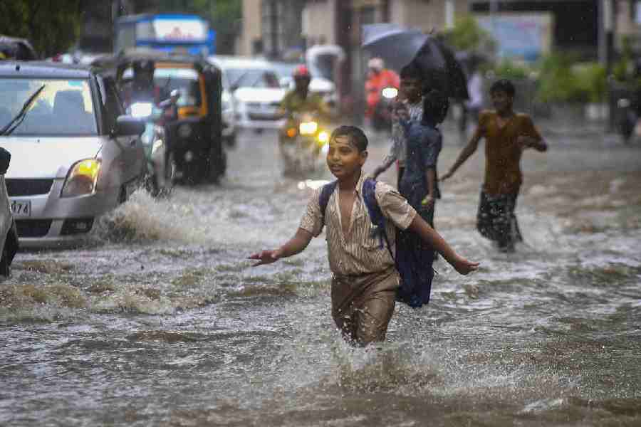
The coastal areas of South 24-Parganas, North 24-Parganas and East Midnapore got drenched since morning. The intensity of the rain picked up in the evening along with the strength of the howling winds.
Saturday night had been windy in Calcutta, with a drizzle or two. Small clouds covered the night sky but the volume of rain was negligible. A consistent breeze made the conditions pleasant.
The wind speeds picked up somewhat in the morning. But in most parts of the
city, Sunday morning was bright and sunny in brief phases, prompting many to wonder if a cyclone was at all on its way.
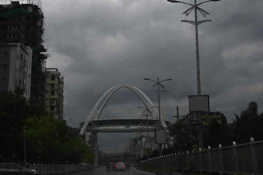
Shortly after noon, the sky became partially cloudy and the city received a spell of rain. But later, the sky cleared somewhat again.
The weather looked far from ominous. If anything, it felt pleasant.
H.R. Biswas, head of the weather section at the Regional Meteorological Centre, Calcutta, said: “As a band of clouds from the periphery of the storm reached the coast, they triggered rain. The sky cleared in the phases in between the arrival of two sets of clouds.”
In the early hours of Sunday, Remal was still a cyclonic storm over the north Bay, moving “nearly northward” at a speed of 6kmph. Around 2.30am, it was 300km from Khepupara (Bangladesh), 290km from Sagar Island, 410km from Digha and 320km from Canning, a Met bulletin said.
Six hours later, it had intensified into a severe cyclonic storm. Around 8.30am, it was 260km from Khepupara, 310km from Mongla (Bangladesh), 240km from Sagar Island and 280km from Canning, a Met bulletin said. The storm was moving at 7kmph but generated winds blowing at 90-100kmph, with gusts clocking 110kmph.
By 7.30pm, the “outer cloud band” of the severe cyclonic storm had been over the coastal areas of Bangladesh and Bengal, a Met bulletin had said. The core system was still 125km from Sagar Island and 135km and 150km from Khepupara and Mongla, respectively. That meant the storm was still over 220km from Calcutta.
“The centre of the system is about 30km from the coastline,” a Met bulletin said around 9.30pm, based on observations made an hour earlier. “The forward sector of the wall cloud region is entering land. The landfall process has commenced over coastal areas of Bangladesh and West Bengal.”