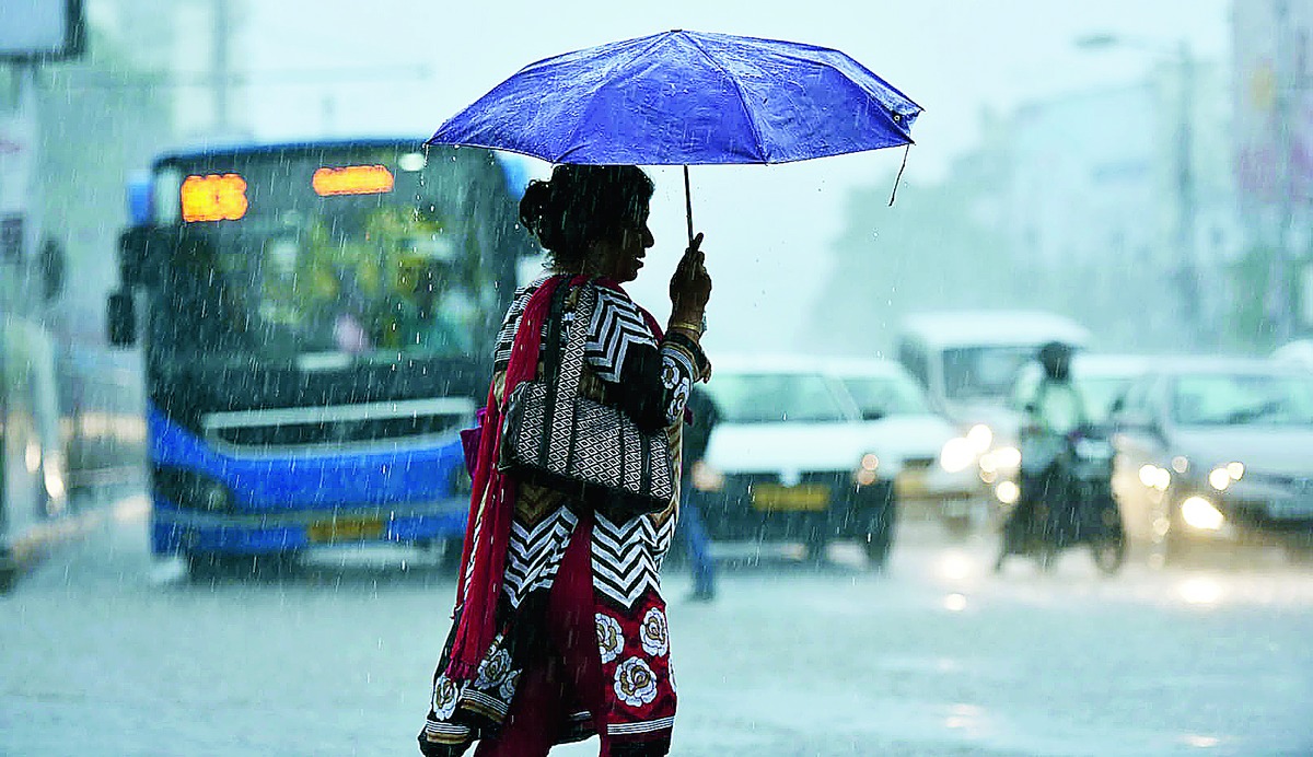

Alipore: Parts of Calcutta received heavy rain on Tuesday after two days of no rain.
A secondary trough of low pressure renewed the moisture incursion into the city that had gone missing and this led to the rainfall, a Met official said.
Light to moderate rain will continue in the city till Thursday but most of it is expected during the day when temperatures are relatively high, the official said.
On Tuesday, the sky was partly cloudy in the morning but the mercury soared in phases when the sun came out.
One such phase around 3pm led to the formation of intense but thin columns of cloud that resulted in the rain, a weather scientist said.
Jora Bridge in the Santoshpur area recorded 58.7mm of rain, the highest in the city, according to the data on a civic website maintained by IIT Kharagpur.
Rainfall, generally, was more in the southern and eastern parts of the city. Ultadanga, in the north, for example, recorded 5.6mm of rain.
Alipore, where the regional Met office is headquartered, recorded 16.2mm.
In Met parlance, up to 19mm rain in 24 hours is light, up to 59mm is moderate and 60mm or above is heavy.
The rainfall in various parts of Calcutta on Tuesday fell in all three categories.
"The distribution was skewed because there was no movement of clouds and they emptied themselves in places over which they had formed," the weather scientist said.
The main monsoon trough is passing a long distance north of Calcutta through Forbesganj in Bihar and Goalpara in Assam, G.K. Das, director, IMD, Calcutta, said.
"But rainfall returned to Calcutta because of a secondary trough passing from Bihar to Odisha," Das said.
The monsoon trough is an imaginary line joining the low-pressure zones in the country and rainfall tends to concentrate around places they connect this season.
"The main monsoon trough runs from east to west. But currently there is another trough in this region that is running north to south over Gangetic Bengal," Das said.
"So, the atmospheric pressure is low in this region compared to the surroundings, resulting in moisture from the Bay of Bengal to flow into Calcutta and neighbouring areas.
"That is why there was cloud formation and rain on Tuesday and we expect more on Wednesday and Thursday."
Chances of rainfall will go down after Thursday when the north-south trough weakens, a Met official said.


