Successive weather systems and the position of the monsoon trough have delivered surplus rainfall to south Bengal in June and July, with some districts receiving more than double their usual precipitation.
North Bengal, meanwhile, has received significantly less rain due to the same meteorological factors.
Between June 1 and July 15, south Bengal recorded 544.7mm of rain compared to its usual quota of 405mm — translating to a 35 per cent surplus.
City level normal
Calcutta has received close to normal rainfall levels at 447.4mm, compared to the expected 466.5mm, despite experiencing heavy downpours on multiple days. The Met office uses readings from Alipore for the city’s official count.
The contrast with last year is striking. During the same period in 2024, Calcutta had recorded a 40 per cent rain deficit.
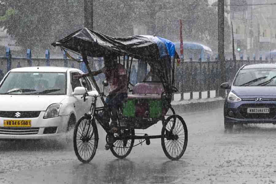
The run-up to the monsoon was rainy this year. Southwest monsoon entered south Bengal on June 17. Since then, barring a few days, the monsoon currents have been active over south Bengal. Over the past week, rain has fallen almost every day.
Some western districts have experienced unusually heavy precipitation this year. Bankura received over 851.1mm — a massive 112 per cent surplus.
Monsoon pattern
Monsoon rainfall in south Bengal depends on weather systems that develop over the Bay of Bengal and adjoining areas. This year has seen five low-pressure areas form over the region. The most recent system took shape on Sunday and intensified into a depression by Monday, triggering widespread rain across Calcutta, mostly between Sunday night and Monday morning. By Tuesday, it had weakened into a low-pressure area over Jharkhand as it moved northwest.
According to Met officials, the Bay area typically sees around 10 such systems during the entire monsoon season from June to September.
Monsoon trough
The monsoon trough — an imaginary line connecting low-pressure points from western to eastern India — has remained positioned over south Bengal for an extended period. Currently, the trough runs over Contai in East Midnapore before moving into the Bay.
The trough’s position is critical: when it sits in the Himalayan foothills, north Bengal and Sikkim receive more rain. When it descends southward, south Bengal benefits.
“Last year, there had been just one system over the Bay area between June 1 and the first week of July. The monsoon trough had also been stationed at the foothills of the Himalayas for a long time,” said H.R. Biswas, head of the weather section at the Regional Meteorological Centre in Alipore.
“As a result, north Bengal had seen very heavy rain, but south Bengal recorded a significant shortfall. By the time monsoon ended, however, south Bengal had received about normal rainfall,” added Biswas of the Alipore Regional Meteorological Centre.
The regional disparity is dramatic. Last year, north Bengal received around 1,200mm of rain between June 1 and July 15, compared to its normal quota of 750mm.
This year, the same region has recorded only 469mm during the same period.
The deluge last year triggered floods in the hills.
The outlook
After persistent rain dragged temperatures down over the weekend, Calcutta barely
saw the sun on Sunday and Monday.
Tuesday brought marginally clearer skies, though conditions remained mostly cloudy with little rainfall.
The Met office forecasts hotter days ahead for Calcutta, at least for the next couple of days. While rain isn’t ruled out, the sun will also make its presence felt.