Uniform and widespread overnight rain dragged the Celsius down on Thursday before the Met office said that another system was brewing on the Bay of Bengal.
The Met office recorded close to 40mm of rain in Alipore between Wednesday night and the early hours of Thursday. It was the highest that Calcutta has seen so far this month.
The maximum temperature on Thursday was 31.8 degrees Celsius, down from over 36 degrees the day before. At 22.4 degrees, the minimum was four degrees below
normal.
On Thursday afternoon, the Met office issued a bulletin that said a low-pressure area was likely to take shape over the Bay on May 27.
“A low-pressure area is likely to form over west central and adjoining north Bay of Bengal around May 27. It is likely to become more marked during the subsequent two days. Under its influence, light to moderate rainfall with isolated heavy rainfall is likely to commence on May 28 over coastal areas of West Bengal.”
The course of the system and the possible influence on south Bengal will be clearer in the next couple of days, said a Met official.
A low-pressure area is also growing in strength on the Arabian Sea, an IMD report said.
On Wednesday, the showers in Calcutta started around 9.30pm. It followed a bout of strong gusts of wind and a dust storm.
New Town to Behala — the showers were uniform.
In some places in and around the city, it was raining even after midnight. The conditions were breezy. The tall and powerful clouds came from the northwest.
“Gusty winds were reported from North and South 24-Parganas, Murshidabad, West Burdwan, Birbhum, Howrah, Purulia, East Midnapore districts of south Bengal with maximum wind speed between 31 and 74kmph. In Jalpaiguri and Cooch Behar districts of north Bengal, maximum wind speed was between 35 and 44kmph,” said a Met report.
Heavy to very heavy rainfall occurred in Jalpaiguri, Alipurduar and Darjeeling. Heavy rainfall was reported from East Midnapore and South 24-Parganas districts of south Bengal.
On May 28, heavy rainfall is likely in North 24-Parganas, South 24-Parganas, East Midnapore and West Midnapore, said a Met official. Calcutta is also expected to get drenched, he added.
For now, an active east-west trough is behind the thundershowers in Bengal.
The east-west trough now runs from the cyclonic circulation over Punjab and neighbourhood to central Madhya Pradesh across south Haryana and the upper-air
cyclonic circulation over northeast Madhya Pradesh adjoining southeast Uttar Pradesh at 1.5km above mean sea level.
The system and favourable wind pattern and moisture incursion from Bay of Bengal will lead to enhanced thunderstorm activity with gusty winds accompanied with heavy rainfall in some districts of Bengal.
On May 23, thunderstorms with gusty wind (speed reaching 50-60kmph) and light to moderate rainfall are likely in Jhargram, West Midnapore and East Midnapore. Heavy rainfall (7-11cm) is likely in Hooghly.
Across south Bengal, thunderstorms are likely from May 23. The intensity of the winds is likely to be stronger in Jhargram, West Midnapore, East Midnapore and Hooghly.
While most areas are likely to get light to moderate rainfall, Hooghly is expected to get heavy rain.
From May 24 to 26, light to moderate rain, accompanied by gusts of wind and streaks of lightning, are expected across south Bengal.
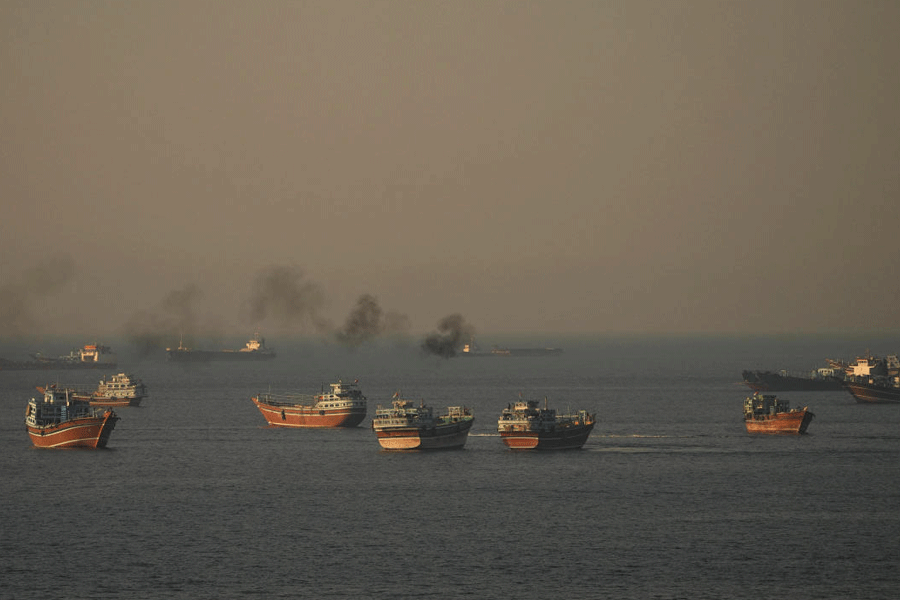
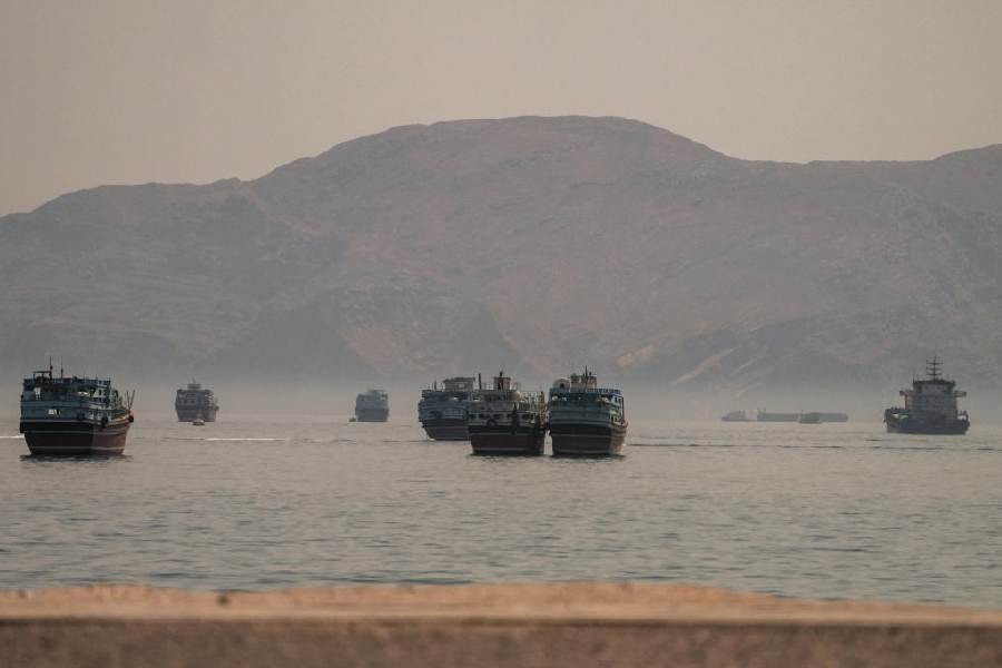
On the Arabian Sea, the low-pressure area was off the Goa coastline on Thursday.
An IMD report said the system was likely to intensify into a depression, moving north, in 36 hours.
The report said “further intensification” was “possible”. A depression usually turns into a deep depression before a cyclone.
Goa, Konkan and Gujarat’s coastal areas are already being battered by heavy rain.
Met officials said it was unusual for two very strong systems to be active at the same time over Bay on the east and the Arabian Sea on the west.