A low-pressure area has taken shape over the north Bay of Bengal, the Met office said on Thursday.
It is expected to move towards the Bengal-Odisha coastline, triggering widespread rain over the next few days.
“A low-pressure area has formed over the north Bay of Bengal... It was over the central parts of north Bay around 8.30am on Thursday.... It is likely to become a well-marked low-pressure area during the next 24 hours. It is likely to move west-northwestwards towards West Bengal and adjoining north Odisha coasts during the next 48 hours,” said a Met bulletin issued on Thursday afternoon.
“The monsoon trough now passes through Sri Ganganagar (Rajasthan).... Patna (Bihar), Jamshedpur (Jharkhand), Digha, and then southeastwards to the centre of the low-pressure area,” the bulletin said.
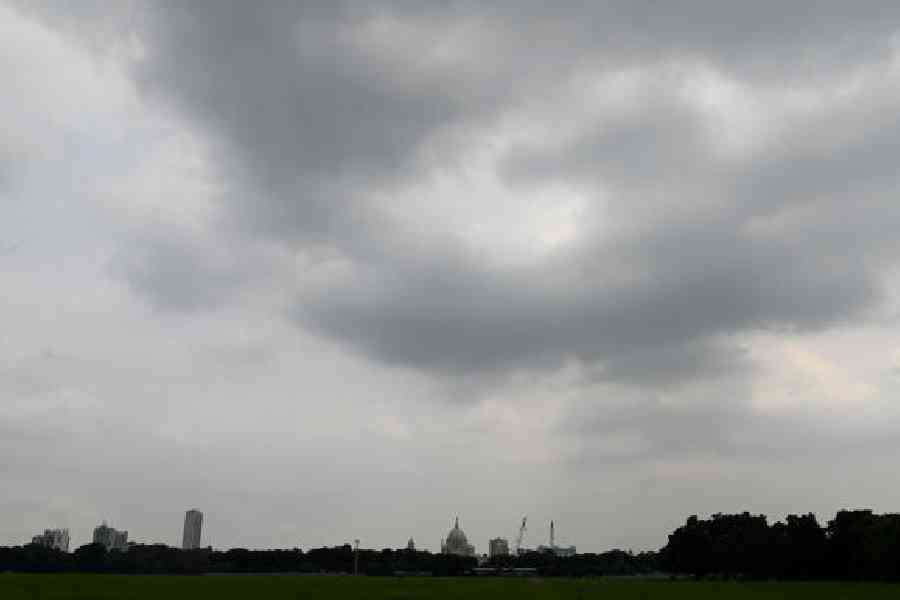
Several districts received rain on Thursday under the influence of the system and strong monsoon flow. Burdwan, East and West Midnapore, Hooghly, South and North 24-Parganas and Howrah were among them. Calcutta was reasonably dry till Thursday night, but rain was on its way, said a Met
official.
Calcutta is most likely to get heavy rain between Friday and Saturday, he said.
On Friday, extremely heavy rainfall (more than 20 cm) is likely in Bankura and West Midnapore districts; heavy to very heavy rainfall (7-20 cm) is expected in Jhargram, East Midnapore, Purulia, Hooghly and South 24-Parganas districts; heavy Rainfall (7-11cm) is likely in the remaining districts of south Bengal, the bulletin said.
On Thursday, the maximum temperature was 33.3 degrees, a climbdown from Wednesday but still hot enough. The consistently high moisture content in the air kept up the discomfort index.
“The temperature is likely to drop in the coming days because of the showers,” said a Met official.
Several parts of Calcutta and Salt Lake received rain on Thursday night. The showers were preceded by streaks of lightning and roars of thunder. Around 10.20pm, a Met alert warned of more rain through the night, including an “intense spell”.