Cyclone Biparjoy started making much awaited landfall near Jakhau Port in Gujarat's Kutch district on Thursday evening after churning across the Arabian Sea for over 10 days as multi-agency response teams remained alert for relief and rescue efforts, while about one lakh people were moved to safer places in the state.
The landfall process will be completed by midnight, the India Meteorological Department (IMD) said.
The cyclone will bring extremely heavy rainfall in Kutch, Devbhumi Dwarka and Jamnagar, with wind speeds remaining high even on Friday despite reduction in intensity, IMD Ahmedabad director Manorama Mohanty said.
Strong winds and heavy rains battered Kutch and Saurashtra coasts as hundreds of personnel from disaster management agencies and other departments remained on high alert for relief and rescue operations, while three persons were injured in Devbhoomi Dwarka district after a tree fell on them.
"Dense convective clouds have entered Kutch and Devbhumi Dwarka districts and therefore, the landfall process has commenced. It will continue until midnight," IMD Director General Mrutyunjay Mohapatra said.
Landfall indicates a cyclonic storm moving over land after being over water.
The eye of the cyclone is around 50 km in diametre. Biparjoy is marching ahead with a speed of 13-14 kmph. Thus, it will take around five hours for the wall cloud and the eye to completely cross into the land, Mohapatra said.
Destructive wind force uprooted many trees and electric polls near Jakhau and Mandvi towns of Kutch as tin sheets and plastic shades were blown away.
Until 7 pm, there was no report of any loss of life, said Gujarat Minister of State for Home Harsh Sanghavi said.
"Three persons sustained injuries in Devbhoomi Dwarka district after a tree fall and they are being treated. Teams of the Gujarat police, the NDRF and the Army are working at ground level in different parts of Dwarka to remove uprooted trees and electric poles," Sanghavi said.
The `very severe' cyclonic storm Biparjoy is centered over north Arabian Sea but it is coming closer to the Saurashtra coast with a wind speed of 115-125 kmph, gusting to 140 kmph, the IMD said in a statement in Ahmedabad.
Authorities have evacuated around one lakh people living in vulnerable areas in coastal districts of Gujarat following a prompt warning from the IMD about the "extensive damaging potential" of the cyclone, the second powerful storm to hit the state in three years after 'Tauktae' in May 2021.
"Of 94,427 persons evacuated so far, 46,800 were evacuated in Kutch district, followed by 10,749 in Devbhumi Dwarka, 9,942 in Jamnagar, 9,243 in Morbi, 6,822 in Rajkot, 4,864 in Junagadh, 4,379 in Porbandar and 1,605 in Gir Somnath district," a state government release said.
Officials said 15 NDRF teams, 12 teams of the State Disaster Response Force and personnel of the Indian Army, Navy, Air Force, Indian Coast Guard and Border Security Force have been deployed for relief and rescue operations.
"The Army has deployed 27 relief columns in Bhuj, Jamnagar, Gandhidham, Dhrangadhra as well as forward locations at Naliya, Dwarka and Mandvi. The Air Force has kept one helicopter each on standby at Vadodara, Ahmedabad and Delhi. The Navy has positioned 10-15 teams, each consisting of five diverse and good swimmers, at Okha, Porbandar and Bakasura for rescue and relief," an official said.
The Met office had earlier warned of very heavy (11.5 cm to 20.4 cm) to extremely heavy rainfall (over 20.5 cm) in Kutch, Devbhumi Dwarka, Jamnagar, Porbandar, Rajkot, Morbi and Junagarh districts.
It said the cyclone would cause 'astronomical tide' with a storm surge of 2-3 metres height that could inundate low-lying areas in Kutch, Devbhumi Dwarka, Porbandar, Jamnagar and Morbi districts during the landfall.
"We won't be surprised if some areas record more than 25 cm of rainfall. Usually, they do not receive such intense precipitation at this time of the year. Therefore, there is a risk of flooding in the low-lying areas," Mohapatra had cautioned.
Sea conditions are phenomenal (waves could be 10 to 14 metres high) in the northeast and the adjoining east-central Arabian Sea and all activities, including oil exploration, ship movement and fishing, have been suspended.
Meteorologists had warned of extensive damage to standing crops, houses, roads, electricity and communication poles, and flooding of escape routes.
High tides could inundate low-lying areas of Saurashtra and Kutch coasts, they said.
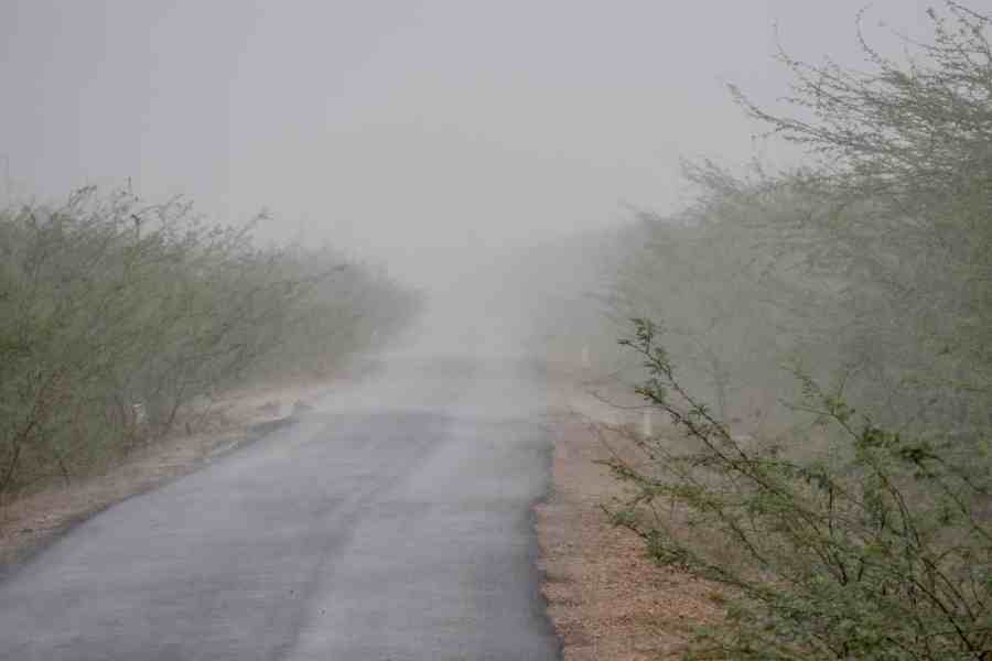
Several parts of coastal Gujarat have been recording heavy rains and high-speed winds since Wednesday.
Sea conditions are phenomenal (waves could be 10 to 14 metres high) in the northeast and the adjoining east-central Arabian Sea and all activities, including oil exploration, ship movement and fishing, have been suspended.
In 2021, cyclone Tauktae hit the southern coast of Gujarat on May 17 when India was battling a fierce second wave of COVID-19.
According to the US Joint Typhoon Warning Center, Tauktae packed maximum sustained winds of up to 185 kmph, making it the "strongest tropical cyclone" in at least two decades to impact the west coast of India.
Biparjoy, the first cyclone in the Arabian Sea this year, rapidly underwent rapid intensification on June 6 and June 7, escalating from just a cyclonic circulation to a very severe cyclonic storm in just 48 hours, defying earlier predictions. It has also sustained its strength for a longer-than-normal duration, which meteorologists attribute to due to an unusually warm Arabian Sea.
It has also sustained its strength for a longer-than-normal duration, which meteorologists attribute to due to an unusually warm Arabian Sea.
The IMD data shows Biparjoy has become the cyclone with the longest lifespan in the Arabian Sea.
The life period of Biparjoy, which developed over the southeast Arabian Sea at 5.30 am on June 6, is about 10 days and 12 hours so far.
The extremely severe Cyclone Kyarr of 2019 over the Arabian Sea had a life of 9 days and 15 hours. It developed over the east-central Arabian Sea, had multiple recurvatures and weakened over the southwest Arabian Sea.
The very severe cyclonic storm Gaja of 2018 over the southeast Bay of Bengal had a life span of 9 days and 15 hours. It crossed the southern peninsular region, emerged into the Arabian Sea and weakened there, the IMD said.
Scientists say cyclonic storms in the Bay of Bengal and the Arabian Sea have been intensifying rapidly and retaining their intensity for a longer duration due to climate change.
Ahead of the landfall, several parts of Kutch, Jamnagar, Rajkot, Porbandar, Devbhumi Dwarka and Amreli received heavy rainfall ranging from 10-20 millimetres in six hours till Thursday noon.
IMD officials said apart from Saurashtra-Kutch, other districts of Gujarat were also likely to receive light rainfall with surface wind speed gusting to 40 kmph.
It will also cause uprooting of power and communication poles, damage and flood approach roads, with district authorities making extensive preparations to ensure there is no disruption in power and water supplies, they added.
The Indian Air Force assets are in operational readiness for relief and rescue work that would follow the landfall of cyclone 'Biparjoy', the IAF said.
"#IAF assets in Op readiness for relief and rescue operations that would follow the landfall of #Cyclonebiparjoy. IAF is committed to assist fellow citizens to tackle contingencies that arise due to the cyclone," the IAF tweeted.
The information and broadcasting ministry has asked media organisations, including television channels, to take "abundant precaution" while deploying their personnel to cover cyclone Biparjoy to ensure their safety.
In an advisory in New Delhi, the ministry said media personnel, especially of satellite television channels, will be engaged in the ground reporting of the cyclone and other related incidents.
"Given the possible impact of the cyclone, reporting from the ground level may pose serious risks of safety and security of the reporters and the cameramen and other personnel deployed by the private satellite TV channels for reporting this incident," it said.