Government officials in the three coastal districts of Bengal — South 24-Parganas, North 24-Parganas and East Midnapore — are hoping the timing of Cyclone Yaas doesn’t coincide with high tide, when water level in the sea and rivers rise.
Officials said tides in the sea and rivers are expected to be at its highest for at least two hours from 9.30am and again for the same duration from 9pm on May 26, which is a full moon day.
“We have already taken measures to repair embankments wherever needed. But if the cyclone landfall coincides with the high tide, no measures to stop the breach of embankments will work,” said a senior irrigation official and added that they did not get much time to repair the damaged earthen dams.
A source said the coastal districts like North and South 24-Parganas and East Midnapore would suffer more if the cyclone hits before noon. This will lead to saline water flooding the area, the source added.
Sources in the irrigation department said the three districts had earthen embankments the length of which adds up to 400km. Several areas in these districts are vulnerable during a cyclone as many embankments fall in the coastal areas.
In South 24-Parganas, most of the 35km stretch of the embankments are in Sagar Island, Kakdwip and Namkhana. This makes the region extremely vulnerable to Yaas.
“During Amphan, embankments were breached at seven points and we tried our best to repair the entire stretch. However, work has not been finished amid the pandemic. We have already kept teams ready to monitor the embankments but the real challenge will come when the cyclone will make landfall,” said Kalyan Dey, an executive engineer of the irrigation department in Kakdwip.
Similarly, around 30km stretch of the embankment in North 24-Parganas and around 50km of the embankment in East Midnapore make the districts vulnerable.
Irrigation department officials are covering earthen embankments with jute cloth to prevent soil erosion while letting the water pass.
“We have covered around 8km of earthen embankment with cloth made of jute,” said P. Ulaganathan, the South 24-Parganas district magistrate.
“The main challenge for us this time is to prevent the ingress of saline water into farmland,” said an official in the agriculture department.
During Amphan, over 20 lakh farmers in the three districts had lost their crops. Officials said if saline water enters agriculture fields, it destroys fertility for a few years.
“During Amphan, around 96,000 hectares of agricultural land were damaged and at least five lakh farmers were affected. This time we have arranged hundreds of pumps to remove saline water immediately after the cyclone,” said an agriculture department official in South 24-Parganas.
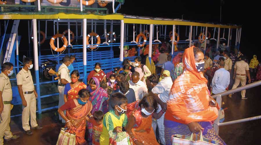
All the three districts have started evacuation of people from the vulnerable zones. Officials said the target is to shift 10 lakh people from three districts to safe shelters.
Around 1.8 lakh people from South 24-Parganas have been evacuated already. The evacuation process has also started in two other coastal districts.
As the cyclone is about to pass several other districts in South Bengal like Howrah, Hooghly, Bankura and Birbhum—all the districts have made a control room ready to help during the disaster. A company of NDRF has been deployed in Bankura to combat the situation.
Additional reporting by Anshuman Phadikar and Subhasish Chaudhuri