The Bureau of Indian Standards (BIS) has published a new seismic zonation map of the country under the seventh revision of Indian Standards, 1893.
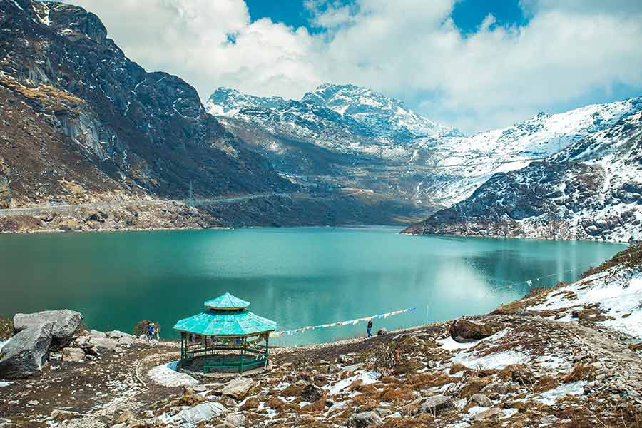
Under this revised classification, almost the entire Himalayan and sub-Himalayan region, including the Darjeeling hills, the Terai, the Dooars and Sikkim, has been placed in the newly created highest risk zone, VI.
It means that these areas have a strong likelihood of experiencing earthquakes.
“This seismic upgrade has been done by advanced Probabilistic Seismic Hazard Assessment (PSHA) methodologies, which integrate historical seismicity, active faults and other parameters to generate more realistic estimates of seismic activities,” said a source.
The revision, published by BIS, elaborates on the code of practice to design for earthquakes and the criteria for earthquake-resistant design of structures.
It was adopted by the BIS after the draft was finalized by the Earthquake Engineering Sectional Committee and approved by the Civic Engineering Division Council.
In the revision, BIS has mentioned that 61 per cent of India’s land area, where around 75 per cent population lives, is prone to moderate to strong tremors.
“Hence, earthquake-resistant design and construction are essential. This standard provides a revised earthquake zone map considering the known faults, the maximum size of events likely on these faults, the attenuation of the ground shaking with distance, tectonics, and lithology across the country,” reads the document.
Earlier, India was categorised into four seismic zones — II to V. The sub-Himalayan Bengal region (Siliguri, Darjeeling, the Terai and the Dooars) and Sikkim were marked under zone IV.
“This time, this entire region, along with the Northeast, parts of Jammu and Kashmir, Uttarakhand, and Himachal Pradesh, is under the new zone VI, with the highest risk,” said an expert.
The Andaman and Nicobar Islands and parts of Gujarat are also under the same zone.
The new classification highlights the shared tectonic vulnerabilities of the Himalayan belt, especially along the Himalayan Frontal Thrust (HFT).
Raju Bista, the Darjeeling MP, said this new development underscored the need for a paradigm shift in prioritising and undertaking developmental projects in high-altitude regions.
“There is a need to adopt a more decentralised and participatory model of governance. All developmental activities must integrate local knowledge and concerns through district-level planning, and strict enforcement of building codes suited to local geographies must be enforced,” said Bista.
The region, the MP said, needed funds for slope stabilisation, riverbank erosion control, flood management, early warning systems and overall emergency preparedness.
The new practice code, released by BIS with the new map of seismic zones, also elaborates on the need to carry out construction works with proper safety parameters to curb damage in case of a tremor.
“Considering the safety parameters in the high-risk zone, changes have to be incorporated in the designing and construction work of buildings and other structures in the sub-Himalayan region, along with Sikkim, the northeast and other marked areas,” said Avik Chakraborty, a civil engineer based in Siliguri.