A cyclonic circulation over Bangladesh has triggered the latest wet spell in Bengal.
The system is causing more rain in north Bengal than in the state’s south.
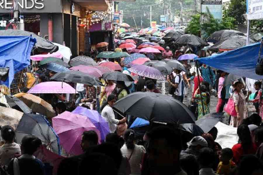
In Calcutta, the sky was consistently cloudy on Sunday. The showers were more like a drizzle here and there. The impact of the system will be felt for a couple of more days in the city, said a Met official. Heavy rain is unlikely in Calcutta, he said.
“An upper air cyclonic circulation lies over northeast Bangladesh between 3.1 and 5.8 km above mean sea level. A trough in westerlies runs through Bihar and Jharkhand,” said a Met bulletin.
What the Met office called the monsoon trough — an imaginary line connecting the low-pressure points from the country’s west to east — till a day ago was now being called a trough in westerlies because the process of the withdrawal of the southwest monsoon has begun.
Southwest monsoon has withdrawn from some parts of west Rajasthan on Sunday, the Met office said. The line of withdrawal of the southwest monsoon passes through Sri Ganganagar, Nagaur, Jodhpur and Barmer.
The usual date of the beginning of the withdrawal of the monsoon is September 17. The usual date of the withdrawal of the monsoon from Calcutta is October 10.
A low-pressure area that was over west-central Bay of Bengal off the north Andhra and south Odisha coastlines had moved over land and was over north Telangana and adjoining Vidarbha, the Met bulletin on Sunday said.
“The low-pressure area has no direct impact on Bengal. However, under the presence of the above meteorological conditions and strong moisture incursion, widespread light to moderate rainfall, with heavy to very heavy rainfall at a few places, are very likely in north Bengal. Light to moderate rainfall at many places, with isolated heavy rainfall and thunderstorms, is likely in South Bengal,” the bulletin said.
In south Bengal, districts like Purulia, Birbhum, Murshidabad and West Burdwan are likely to get heavy rain, said a Met official.