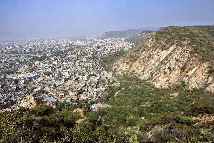
Urban expansion across Rajarhat, New Town and the nearby wetlands on Calcutta’s eastern flank has outpaced planning limits, with the built-up area increasing 11-fold over 30 years in some localities and projected to grow, researchers have found.
Geographers from Presidency University have, using satellite imagery, identified land use changes in Rajarhat, New Town and adjacent areas that they say could accelerate groundwater depletion, increase flood risk and raise the local temperatures through the “heat-island” effect.
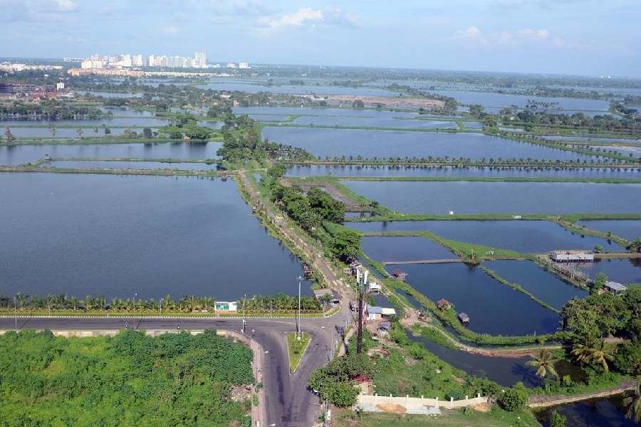
Their study also flags shortfalls in water body restoration. Authorities have developed only 5.5 per cent of the 20 million cubic metres target set under the New Town Master Plan 2017 to make up for wetland losses. The findings have appeared in the journal Modelling Earth Systems and Environment.
“Urbanisation is inevitable, but it’s happening at a cost to our ecosystem,” said Koel Roychowdhury, assistant professor of geography at Presidency University, who led the study and specialises in satellite-based analysis of human and social geography.
Roychowdhury and research scholar Mehebub Mondal analysed changes in built-up land, crop cover, vegetation and water bodies between 1993 and 2023 across Salt Lake, Rajarhat, New Town, the East Calcutta wetlands and surrounding areas.
They found that built-up land in Salt Lake had more than doubled over 30 years, but expanded even more sharply elsewhere — rising 9-fold in Rajarhat and New Town, 11-fold in the East Calcutta wetlands and 12-fold in the Bhangar-Rajarhat development area.
The study says that if current trends continue, built-up land for housing and commerce will grow 44 per cent by 2033 over the 2023 levels, with several rural and suburban zones on the Rajarhat-Bhangar periphery emerging as hotspots for future construction.
This expansion — driven by accessibility, transport links and low land prices — is expected to be concentrated in areas such as Baligari, Bamunia, Basina, Bishnupur, Chandakanthal, Hatisala, Jagadeshpur, Karaidangaand Patharghata.
“Low land prices coupled with a growing demand for better living amenities will drive the expansion in these areas, engulfing arable land and wetland buffers,” Roychowdhury told The Telegraph.
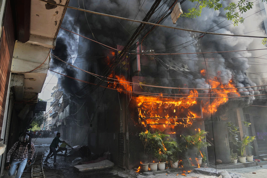
The spread of buildings and paved roads reduces the ground’s ability to absorb water, diminishing groundwater recharge and heightening flood risks during heavy rains.
The study found that vegetation cover had nearly been halved, shrinkingfrom 68sqkm to 36sqkm between 1993 and 2023, with the steepest losses in Rajarhat-New Town, which has lost more than 60 per cent of its green cover.
“These changes will extend the heat-island effect into new localities,” said Mondal, referring to the phenomenon in which concrete, asphalt and buildings trap heat and raise local temperatures — often by 2°C to 5°C — compared with greener or rural areas.
While authorities have attempted to mitigate theloss of green cover through large urban parks, broad vegetated medians and urban forestry efforts, those initiatives have fallen short of the planned targets.
The New Town Land Use Plan, drafted in 2012, had mandated that 22 per cent of land be reserved for open spaces, green areas and water bodies. But water bodies and vegetation currently account for only 16 to 18 per cent, Mondal said.
The East Calcutta Wetlands Management Action Plan for 2021-2026 had called for the strict preservation of buffer zones. But the study’s projections suggest that future construction could intrude into designated wetland boundaries in violation of those conservation goals.
“Without urgent action — to restore the wetlands, scale up urban greening and enforce land-use rules — the city and neighbouring areas could face an increased risk of floods, extreme heat and irreversible ecological damage,” Mondal said.