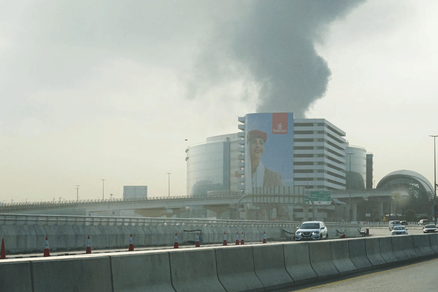

Guwahati, Oct. 13: A Norwegian quake expert today raised concerns on the “insensible way” buildings are being constructed in an around the city and dearth of open space.
Speaking on the occasion of International Day for Disaster Reduction in the city organised by the Assam State Disaster Management Authority in collaboration with Unicef, the head of department of earthquake hazard and risk of NORSAR or Norwegian Seismic Array, Dominik H. Lang, said the haphazard method of building construction on the hillocks in Guwahati was a matter of “serious concern”.
“Buildings are being constructed on the slopes, which is huge threat to life. The uneven foundation of those buildings on the slopes is definitely not strong. An earthquake of big magnitude can turn those buildings into rubble within seconds,” he said.
NORSAR was established in 1968 as part of the Norwegian-US agreement for the detection of earthquakes.
Based in Oslo, NORSAR is currently working on earthquake damage estimation project for Guwahati city with Assam Engineering College.
The project has been funded by the Assam State Disaster Management Authority.
Lang, while giving an overview of the project, said Guwahati is geologically and topographically different from the other cities in the country as it is based on soft soil. Soft soil based on seismic zones is more vulnerable to earthquakes compared to hard soil, he added.
“The growth of Guwahati is directed along the major roads, while it is restricted because of physical constraints like hills and waterbodies. It is affecting the size of the city. Distance between the buildings is shrinking and the city has a dearth of open space.”
Lang said immediately after an earthquake, the local authority should know about the accessibility of the rescue teams and have overview maps that help the rescuers.
“They should know where to send the rescue teams and how to launch rescue operations. Technology should come up in such a way that overview maps showing disasters are made available to every stakeholder. Overview maps indicating relative and absolute damage distribution would be of great help. Instead of having a single map of the city which creates confusion, smaller maps demarcating the city in smaller units are much better. The smaller maps will show damage and loss distribution of each unit,” he said.