Eastern India, primarily Bengal, Odisha and the Bihar-Jharkhand belt, is expected to experience a vigourous monsoon in the next couple of days with the Met office pointing to two back-to-back low pressure systems brewing in the Bay of Bengal.
Weather officials said on Friday that the monsoon was likely to remain active till early October. Of the two systems, one will start impacting Bhubaneswar and other places in Odisha from Sunday (September 26), while the other is expected to follow two-three days later and trigger rainfall across cities and towns of Jharkhand and Bengal like Ranchi, Jamshedpur and Calcutta. This system is also likely to impact the weather of Bihar as it moves northwards.
"Today's (Friday's) air-chart analysis and other weather models suggest that under the influence of a cyclonic circulation, a low-pressure area has formed over east central Bay of Bengal which is likely to move north-west towards the Odisha coast during the next 48 hours. This will impact the weather of Odisha, Bengal and Jharkhand," said anIMD official in New Delhi.
Officials at IMD's Ranchi Met Centre said the back-to-back weather systems would prolong monsoon's stay in the eastern region states of Jharkhand, Bengal, Odisha and Bihar.
Weather officials at IMD's Regional Met Centre at Alipore in Calcutta said the normal date for the monsson to start retreating (from west Rajasthan) was September 17 with the season ending on September 30. "But the prevailing situation suggests that this year’s monsoon withdrawal is likely to be delayed by more than two weeks," said an official at the Calcutta Met Centre.
He went on to add that the two back-to-back systems were expected to bring more rain to the central and eastern regions, delaying the retreat of the monsoon.
Met statistics revealed that if the two low-pressure circulations hit the mainland as forecast, September would have had five such systems, the highest for any monsoon month this year. July saw four low-pressure systems bringing rain from the Bay of Bengal, while June and August experienced two such systems each.
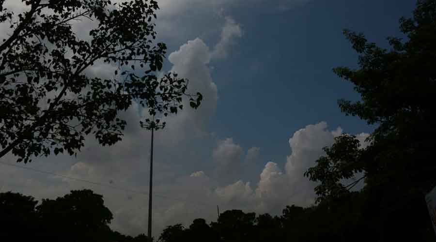
Satellite pictures suggested that the monsoon trough at mean sea level was passing through Daltonganj, Jamshedpur (Jharkhand) and Digha (Bengal) on Friday and was extending till East Central Bay of Bengal.