|
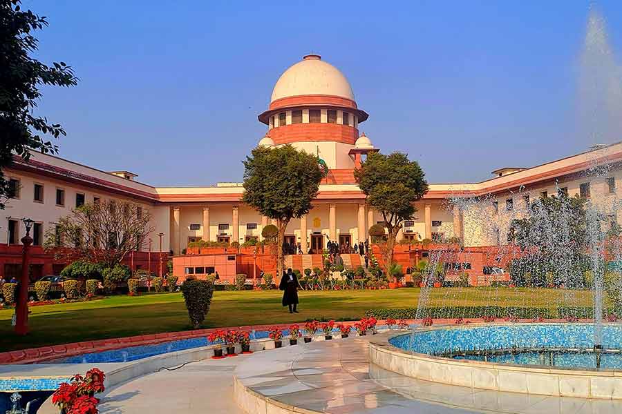
| Repair work on at the tsunami-devastated naval jetty in Port Blair. Picture by Pradip Sanyal |
Port Blair, Dec. 19: The country’s last outpost is lost forever and the map has changed in the archipelago of 572 emerald islands and rocks.
Nearly a year after last December’s tsunami roared into Andaman and Nicobar, conjectures and hopes that the water levels will recede at Indira Point and the Great Nicobar Island are finally over.
“It has been a year, but you can travel only up to 18 km from Campbell Bay towards Indira Point, and then the rest 30-odd kilometres is all sea. I am afraid, but it seems we have lost Indira Point forever,” Lieutenant Aditya Singh Rana, the officer in charge of the naval detachment in Campbell Bay, told The Telegraph.
“Only the half-submerged lighthouse tells us where the country’s last outpost was for so many years.”
Large parts of Campbell Bay, about 287 km from Port Blair to the south, has been devoured by the sea, forcing people to live in makeshift camps for about a year now.
Their hopes of getting back their land are dying fast.
“The situation is so bad that beyond 7 km of the north-south road, everything is under water, leaving residents small plots of land to perch on. This apart, regular land sliding has added to the problem,” Rana said.
Many times since the December 26 tsunami, senior officials of the government, navy and the air force have gone on inspections to Indira Point, so named by the late Rajiv Gandhi after his mother on a visit to the islands. But they returned dejected after travelling several hours on boats.
“If the lighthouse wasn’t there, it would have been impossible to make out the area,” said a government official who had gone on such a trip recently.
Water levels had risen by 1.5-2 metres in the region and areas like Gandhinagar and Sashtrinagar are lost forever. “I shudder to think what had happened to so many people. I still remember how the waves chased the car I was driving at top speed to get away on that fateful day in Campbell Bay,” said Debajyoti Ghosh, a Met office observer with roots in Bengal’s Suri, who has just been transferred to Port Blair.
“During high tides, the airfield at Campbell Bay gets flooded with water, forcing everybody to suspend operations. The land in that region has definitely tilted,” said Commodore Arun Kumar Julka, the naval-officer-in-charge and the naval component commander of the Unified Command of Andaman and Nicobar Islands.
Not just Great Nicobar, most of the southern islands have tilted into the sea.
With the seabed undergoing regular changes, the navy’s plans to create new navigational routes, especially in the south, has been shelved. “The gradual erosion of the seabed and the behavioural changes have not permitted us to carry out this task. The sea is very rough these days,” Julka said.
A survey has put the number of affected islands at 38, with six ? Chowra, Little Nicobar, Trinkat, Bompoka, Kondul and Pilo Millow ? the worst hit. “These islands have been fully evacuated and more than 50,000 people in the entire region have been directly affected,” district officials said.