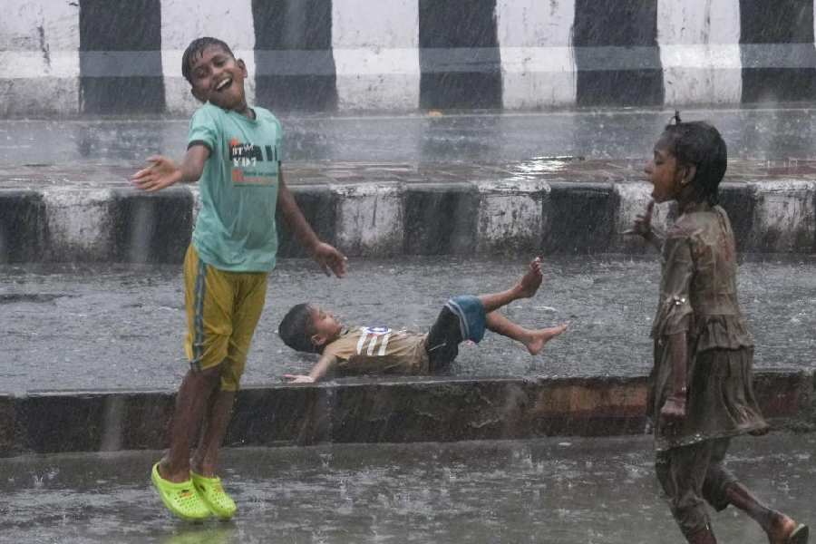
July 26: Calcutta roads stand tall in the face of a Hooghly in spate, providing insurance against river flooding in the middle of the rainiest monsoon phase in years.
The road level along the banks of the Hooghly is about eight feet or 2.4 metres higher than the average water level of the river and acts as a bulwark against flooding. Waterlogging is a different proposition, though. The city's old enemy shows up often, more so when heavy rainfall coincides with high tide in the Hooghly.
Metro highlights when Calcutta should be worried about being inundated by the Hooghly and why living with waterlogging during heavy rain is a Hobson's choice.
Where does Calcutta's rainwater go?
Into two rivers: the Hooghly in the west and the Bidyadhari in the east. The rainwater that accumulates on the roads flows into the underground drainage network through the gully pits. The drains empty into canals that criss-cross the city and lead to the two rivers. Two of the main drainage canals are Town Head Cut (passing through Beleghata, commonly known as Beleghata canal) and Suburban Head Cut (running under Ambedkar bridge on the EM Bypass). The Hooghly marks the western edge of Calcutta while the Bidyadhari is about 40km from the city centre.
Is there any danger of the Hooghly overflowing given that the city has been receiving above-average monsoon rainfall?
There is no need to worry yet, according to engineers of the Calcutta Municipal Corporation. They cite the road level along the banks of the Hooghly as the reason for river flooding being a remote possibility.
Does that mean the city is safe from flooding?
No, the Hooghly flowing below the road level is not an insurance against flooding. During the monsoon, the lock gates through which water flows into the Hooghly from Calcutta's drainage network are usually closed for about five hours during the two phases of high tide every day.
"If the peak of the high tide is at 2pm, the gates are closed three hours in advance and till two hours after the peak," a civic engineer explained.
If it rains heavily during these five hours, waterlogging is inevitable because there is no place for the rainwater to go. With more rain, the already full drains quickly overflow. The scale of waterlogging also depends on extraneous factors such as clogged drains.
At what point does the water level of the Hooghly become a cause for concern?
When the water level crosses 5.5 metres. The Hooghly breached that mark on at least two days during high tide. During high tide on Wednesday afternoon, the water level was 5.78 metres. During low tide, the level was much lower at around two metres.
According to civic engineers, a water level above 5.5 metres along with prolonged rainfall would cause waterlogging in the city, if not flooding.
Does the river breach the 5.5-metre mark often?
When Calcutta experienced its worst floods in four decades in 1978, the water level of the Hooghly had reached 7.7 metres. Every year, the water level exceeds six metres on the day of the tidal bore, the highest tide in a year. This usually happens in September. At this time, the water breaches the banks of Hooghly at Judges Ghat, Prinsep Ghat and Kalighat and spills over onto the roads.
During normal high tide, the Hooghly does not usually breach the banks. If the unexpected happens, there is not much that civic engineers can do except wait for the water level to drop naturally.
If the level of the Hooghly is not alarmingly high, why are parts of Behala and Kidderpore getting flooded after short spells of rain?
Many of the city's canals take rainwater to the east. But those like Monikhal and Churial drain into the Hooghly. Monikhal drains out water from Kidderpore and Garden Reach while the Churial canal services Behala. Since the Hooghly is close to both, the lock gates being closed instantly cause waterlogging.


