 |
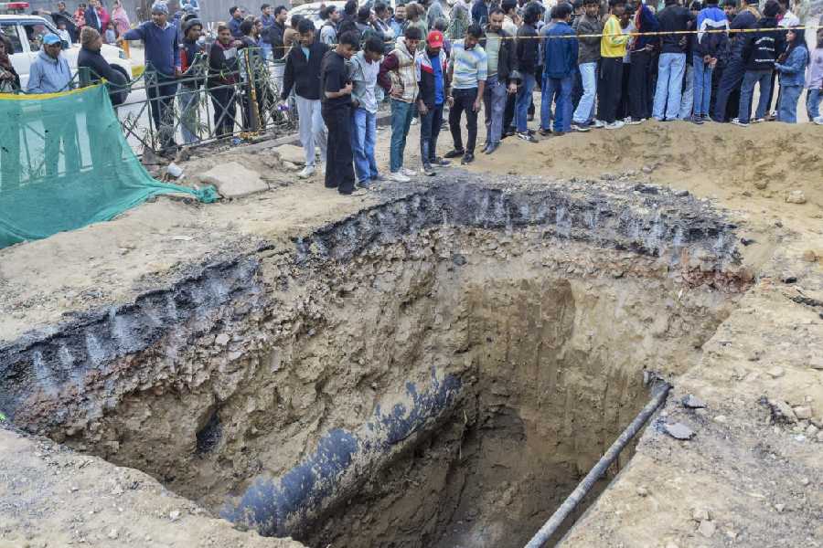
| A road leading to Gulma station near Milan More in Siliguri that was washed away by the Mahananda on Tuesday. (Kundan Yolmo) |
Siliguri, July 17: The state irrigation department has decided to introduce an early warning system in case of a sudden rise in river water levels in north Bengal.
Manas Bhunia, the irrigation minister who is on a tour of the flood-hit parts in Jalpaiguri, said the absence of a warning system was leading to loss of property in several areas.
“During the erstwhile Left Front regime, nothing much was done in this regard. Several rivers and numerous rivulets, most of which originate in Darjeeling and the Bhutan hills criss-cross north Bengal, particularly Darjeeling, Jalpaiguri and Cooch Behar, but the warning system remains limited to only six-seven rivers,” Bhunia said.
The irrigation department collects river water data in most parts of north Bengal, but there is no practice to share the reading with the flood control authorities.
“The absence of such a system keeps residents in the dark on sudden rise in water levels and the possibility of flash floods. People living in unprotected areas and close to river banks are caught unawares and the raging rivers within hours flood their localities and engulf their hutments and belongings.”
Bhunia said: “…It has been decided by our department to introduce this (early warning) system so that people can shift to safe areas.”
The flood control commission issues alerts for the Teesta and Jaldhaka while the irrigation department checks the water level of the Dharala, Raidak, Sankosh and Torsha, which flow through Alipurduar subdivision and Cooch Behar district.
“There are several other rivers in the Dooars, such as the Diana, Chel, Leesh and Gheesh, while in the Siliguri sub-division there are the Mahananda and Balasan and rivulets like Panchnoi and Mahishmari. During the monsoon, water levels in these rivers often rise, leading to inundation in nearby areas,” an irrigation official said.
“Now that we have the rain gauges and markers in the rivers, it is not a huge task to keep tabs and inform people in case there is a rise in the water level.”
The officials said such a system would also help in embankment repair work. “In case we have information in advance about the rise in water levels, we can have a look at the embankments there and if any repair work is required, that can be done immediately,” an official said.
“Right now, the practice is to take preventive measures after the water level rises.”


