A fresh system is likely to bring in more rain this week, said Met officials.
A low-pressure area that was over Gangetic Bengal on Saturday morning moved northwest to Jharkhand by Sunday morning. It was tipped to move west-northwest and weaken by Monday.
But the Met office anticipates a fresh low-pressure area over the northwest Bay of Bengal by Tuesday.
As of now, "thunderstorm with rain" is the forecast for Calcutta on Monday, Tuesday and Wednesday. The days may get hotter, said Met officials.
"The new system is likely to trigger heavy rain in Odisha. So far, there is no heavy rain alert for south Bengal. Calcutta and neighbouring districts are likely to get passing showers because of the system," said a Met official.
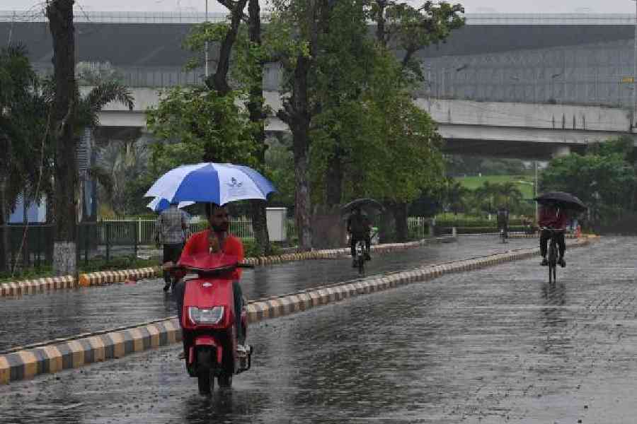
The favourable position of the monsoon trough was behind the latest wet spell in Calcutta, which started on August 20. Between last Wednesday and Saturday, the Met office recorded close to 100mm of rain in Alipore.
The past few days have been consistently cloudy. The maximum temperature stayed under 30 degrees Celsius.
Sunday was also cloudy and there was more than one drizzle. The sun appeared briefly in the evening.
On Saturday, the maximum was 27.2 degrees, almost five notches below normal.
According to the forecast, the maximum temperature is likely to rise to 32 degrees by Wednesday.
Sunday’s weather report said: “The low-pressure area over west Jharkhand and neighbourhood lay over northeast Madhya Pradesh and neighbourhood on Sunday morning. It is likely to move west-northwestwards during the next 24 hours and weaken gradually thereafter”.
“A fresh low-pressure area is likely to form over northwest Bay of Bengal off Odisha-West Bengal coasts during the next 48 hours,” said the report.
Forty-eight hours meant Tuesday morning but a Met official said there was a possibility of a delay.
“There is a tropical storm on the South China Sea. There is a possibility that the system weakens after landfall and reaches the Bay waters in a depleted form before getting revived again and taking the shape of a low-pressure,” said the Met official.
Typhoon Kajiki was barrelling towards China and Vietnam, prompting mass evacuations from the coastal towns.
The monsoon trough at mean sea level now passes through Rajasthan, Uttar Pradesh, the centre of low-pressure area over northeast Madhya Pradesh, Purulia, Digha and thence southeastwards to northeast Bay of Bengal.
When the low-pressure area takes shape, the trough will descend towards the south of Odisha, said the Met official.