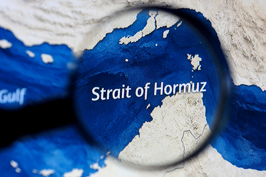
The cyclone in the making over the Bay of Bengal has revived the memories of Amphan that devastated the Sunderbans and caused large-scale damage to Calcutta four years ago.
Amphan landed on Sagar Island, around 100km from Calcutta, on May 20, 2020. After the landfall, the storm swept Calcutta, North 24-Parganas and parts of Nadia. In Calcutta, it triggered over 200mm of rain and consistent winds over 100kmph.
Metro dissects how Cyclone Amphan compares with what is known of the system that is tipped to become Cyclone Remal.
Origin
Amphan started as a low-pressure belt over South Andaman Sea. The system expected to become Remal began as a low-pressure area over southwest Bay of Bengal, closer to the Tamil Nadu-Andhra coastline.
Path
The system that became Amphan was moving in a north-northwest direction at the beginning. But it did not travel in a straight path. Amphan was initially moving in a north-northwest direction but a sharp north-northeast recurve brought it much closer to Calcutta than expected.
The system that is tipped to become Remal is moving in a north-northeastwards direction. But it is also expected to change direction and start moving northwards after it becomes a cyclone on Saturday morning.
The path has led Met officials to predict a landfall area between Khepupara in Bangladesh and Sagar Island in South 24-Parganas. The two are around 400km apart.
Strongest form
The strength of storms is determined by wind speeds generated at their peak over the sea.
Amphan was a super cyclone on the sea, the second strongest storm on the Bay of Bengal since the Odisha super cyclone in 1999.
The super cyclone had generated sustained wind speeds of 260-280kmph. Amphan had winds blowing at 230-240kmph. But that was on the sea.
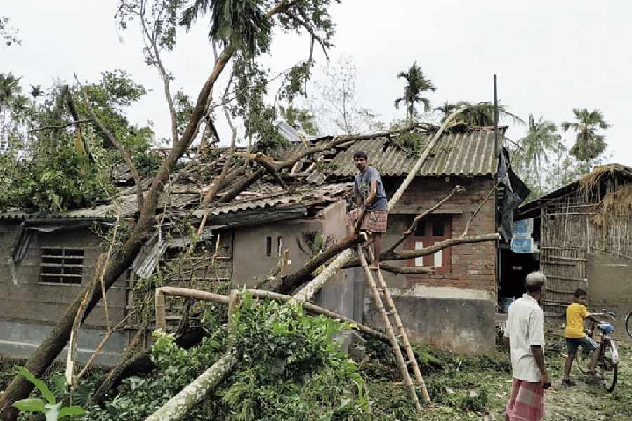
Amphan’s strength depleted from a super cyclone to an extremely severe cyclone while still on sea and it was a very severe cyclonic storm at the time of landfall. But it was still strong enough to wreak havoc in the Sunderbans, Calcutta and North 24-Parganas.
Amphan generated a windspeed of around 180kmph during landfall.
Aila, a severe cyclonic storm that had ravaged the Sunderbans in 2009, had winds blowing at 110kmph during landfall.
Remal is expected to become a severe cyclonic storm by Saturday night and remain so at the time of landfall. It is expected to generate windspeeds of 130kmph.
Landfall
The landfall process of Amphan began around 2.30pm and lasted for over five hours. The core or the eye of a cyclonic storm is a relatively quiet zone, surrounded by the spiralling bands of winds.
As a storm passes, an area will experience the peripheral winds in the front. As the relatively calm core passes through land, there will be a brief lull. That will be followed by the passage of the rear winds, which are just as strong as the ones at the head of the spiral.
That is what happened in the case of Amphan.
“Amphan was a very strong cyclone and had a prominent eye. Not all cyclones have a prominent eye,” said a Met official.
Impact
More than 70 people died in West Bengal because of cyclone Amphan. It battered Calcutta, uprooting at least 6,000 trees and 4,000 electric poles. Several parts of the city were left powerless in the searing May heat, for days. Protests erupted in many pockets. At least two hangars of Air India at the Calcutta airport collapsed, one plane was smashed and portions of the terminal’s roof were blown away during Wednesday’s storm.
What Remal does remains to be seen.