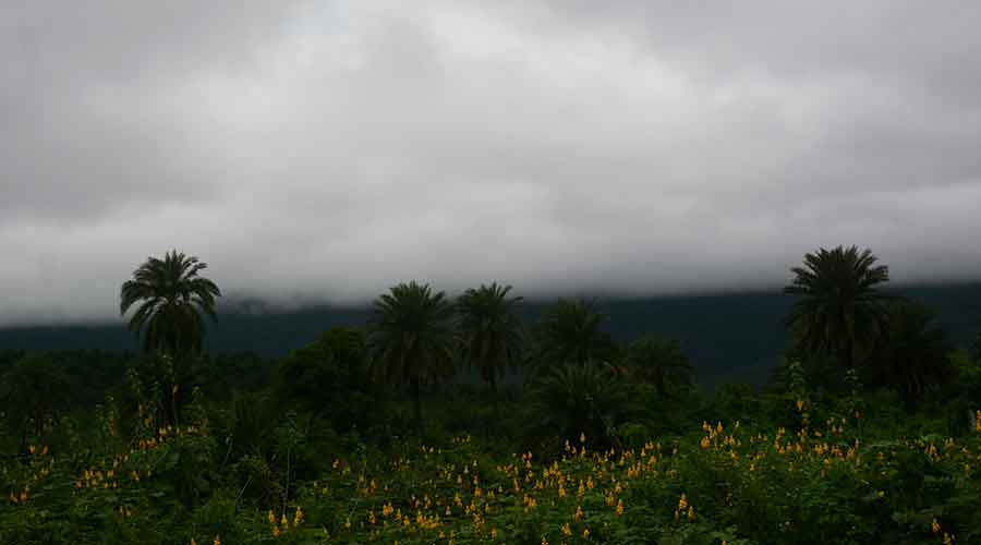
An active monsoon, aided by a cyclonic circulation over the Bay of Bengal, triggered rainfall across several places in Jharkhand on Sunday.
Weathermen at IMD's Ranchi Meteorological Centre said the cyclonic circulation was hovering over north west Bay of Bengal and neighbouring areas of Odisha and West Bengal coasts extending between 1.5 km and 5.8km above the mean sea level.
Met statistics revealed that Kurdeg in Simdega and Jamshedpur recorded rainfall of around 40mm on Sunday. Several other places, including Ranchi, Simdega, Ramgarh, Dumka, Khunti, Latehar, Lohardaga, West Singhbhum and Seraikela-Kharsawan district, witnessed intermittent rains on Sunday due to the impact of the cyclonic circulation.
According to Met statistics, around a dozen IMD observatories recorded rainfall between 10mm and 20 mm.
Head of Ranchi Meteorological Centre Abhishek Anand said they have issued a forecast of moderate rain with thunder and lightning for the next 48 hours.
Met data revealed that against a normal of 981.8 mm, the state has so far received 931.1 mm of rain, a deficit of five per cent. Weathermen said most districts would continue to get a good spell of rain later this month.
The monsoon trough was on Sunday running from west Rajasthan to northeast Bay of Bengal across eastern Rajasthan, north Madhya Pradesh and Daltonganj.