The mercury is in a seesaw mode.
The minimum temperature slid to 17.5 degrees Celsius on Friday. It was 23.5 degrees a day ago, six notches above normal.
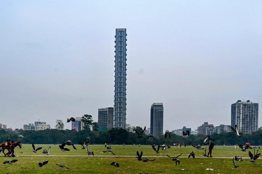
The hot and, to an extent, humid conditions have been suddenly replaced by a late winter vibe. But the mercury is likely to shoot up again over the weekend and some rain is likely later next week, said Met officials.
The sharp slide in the Celsius was attributed to the change in the wind pattern. "The northerly component has replaced the southerly component in the wind," said a Met official.
In simple terms, it means that moisture-rich winds from the Bay, which had been dominant in the lower atmosphere, have been replaced by the cold and dry northerly and northwesterly winds.
An anticyclonic system that was feeding moisture into south Bengal has weakened, said Met officials.
As a result, the minimum relative humidity dropped to 27 per cent on Friday. It was 51 per cent the day before.
The change was visible on the ground. The afternoon sun felt milder. The cold and dry winds dragged the day temperature down as well. The Met office recorded a maximum temperature of 27.2 degrees, two notches below what is normal for this time of the year.
The temperature fluctuations can make viruses more active and increase the chances of infection, warned doctors.
The risk stays because the hint of cold is going to be short-lived.
According to the Met forecast, the minimum temperature can slide to 16 degrees on Saturday but will start rising from Sunday. By early next week, the minimum is expected to shoot up to 22 degrees again.
"Another anticyclonic system will emerge and the moisture-laden winds from the Bay will make strong inroads into south Bengal again," said an official.
The rise in moisture incursion is expected to trigger rainfall in south Bengal, including Calcutta, on February 19 and 20, said the official.