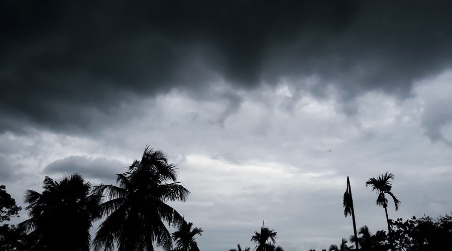
A low-pressure area expected to form over the North Andaman Sea by this weekend is tipped to turn into a cyclone and move towards the Bengal-Odisha coast, making landfall sometime in the middle of next week, the Met office has said.
“A low-pressure area is very likely to form over North Andaman Sea and adjoining East Central Bay of Bengal around May 22. It is very likely to intensify gradually into a cyclonic storm during the subsequent 72 hours. It is very likely to move north-westwards and reach Bengal-Odisha coasts around May 26,” said a bulletin issued by the India Meteorological Department, Calcutta.
The IMD also said “the southwest monsoon is very likely to advance over south Andaman Sea and adjoining southeast Bay of Bengal around May 21 in association with the likely strengthening and deepening of south-westerly winds over the region”.
If the cyclone takes shape, it will be called Yaas, a name given by Oman.
The threat of another cyclone looms when the west coast of the country has just been hit by Cyclone Tauktae. A Met official said May and October-November — pre and post-monsoon periods — are favourable for cyclonic storms because the sea surface temperature is on the higher side.
A low-pressure area has to intensify into a depression and a deep depression before turning into a cyclone.
“A weather system draws on the heat and moisture to gain strength on the sea. The surface temperature of the Bay of Bengal is on the higher side. It is likely to provide the ammunition the weather system needs to turn into a cyclone,” said an IMD official.
The threat of another cyclone in May, in the middle of curbs to contain a resurgent virus, has uncorked on social media unending comparisons with Amphan.
The super-cyclone had hit land near the Sagar islands in South 24-Parganas on May 20 last year, when Bengal was under lockdown. Winds howling at 180km per hour slammed the Bengal coast when Amphan made landfall. The storm had left behind a trail of destruction that the Sunderbans and Calcutta had not seen in decades.
Met officials said it was too early to compare the two storms. “It is still too early to say anything on the path, windspeed and other elements of the new system, if at all it takes the shape of a cyclone. Those things would be clearer in the coming days,” said the Met official.
“Light to moderate rainfall at most places with heavy falls at isolated places very likely to commence in the coastal districts of Bengal from 25th May evening with significant increase in… intensity subsequently over the districts of Gangetic West Bengal,” the Met bulletin said.